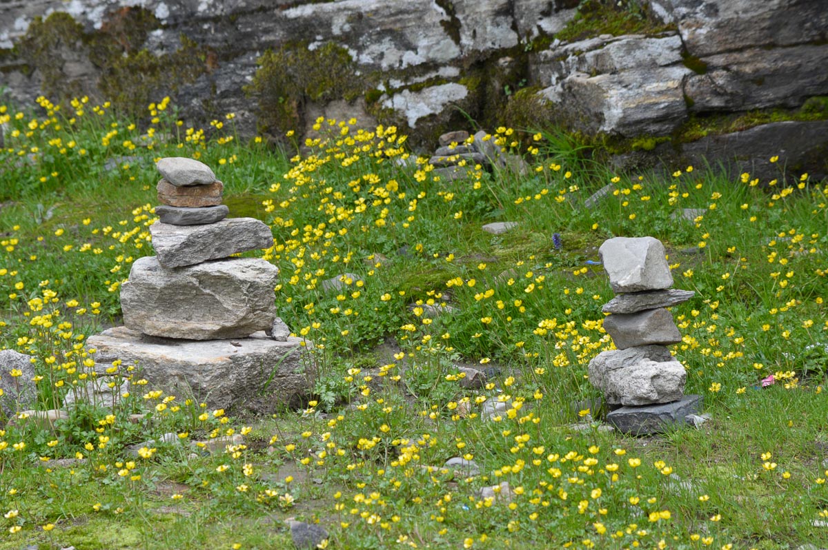
Road side, Manali to Rohtang
Trip to Keylong Area, Lahaul
15th-21st July 2016
Priscilla & Timothy Gonsalves, IIT Mandi
www.ptag.in
This is a photo essay of our recent 6-day trip to the Keylong area of Lahaul. Below the text for each day are photos taken during that day. Click on any photos to see a medium-resolution image which you are free to download. In case you would like the high resolution originals of any photos, please send a request by email.
6:30 pm: Departed from Kamand in a Bolero, Shyam Lal driving
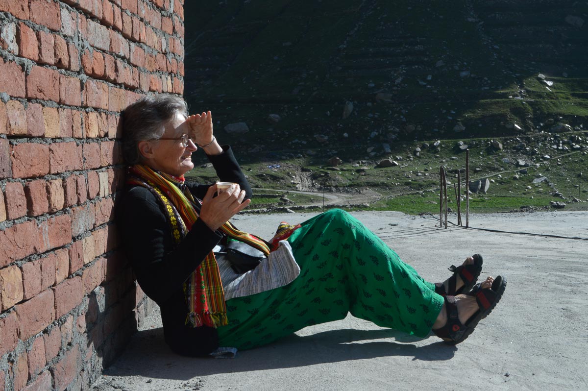
9:45 pm: Reached the SASE Guest House in Manali. Very comfortable room, good service. Rs. 1,000/night.
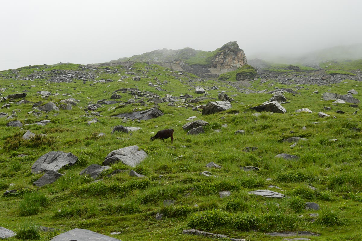
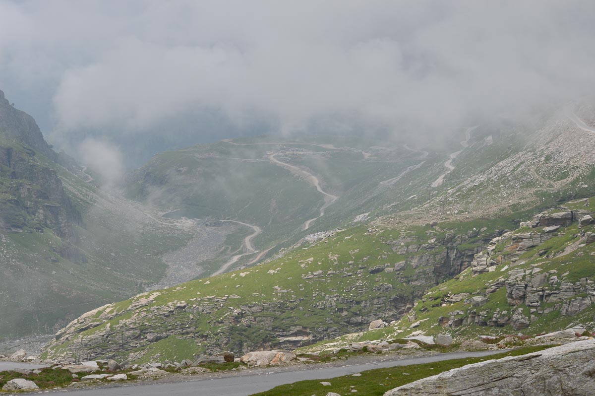
Left the SASE Guest House at 7 am. Overcast, occasional drizzle, mist most of the way up to Rohtang Pass. Light traffic, including a large group of Indian cyclists doggedly pedalling their way up to the pass.
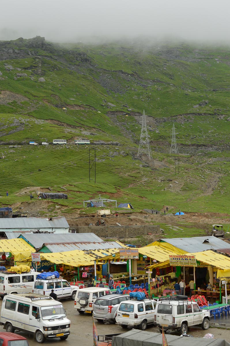
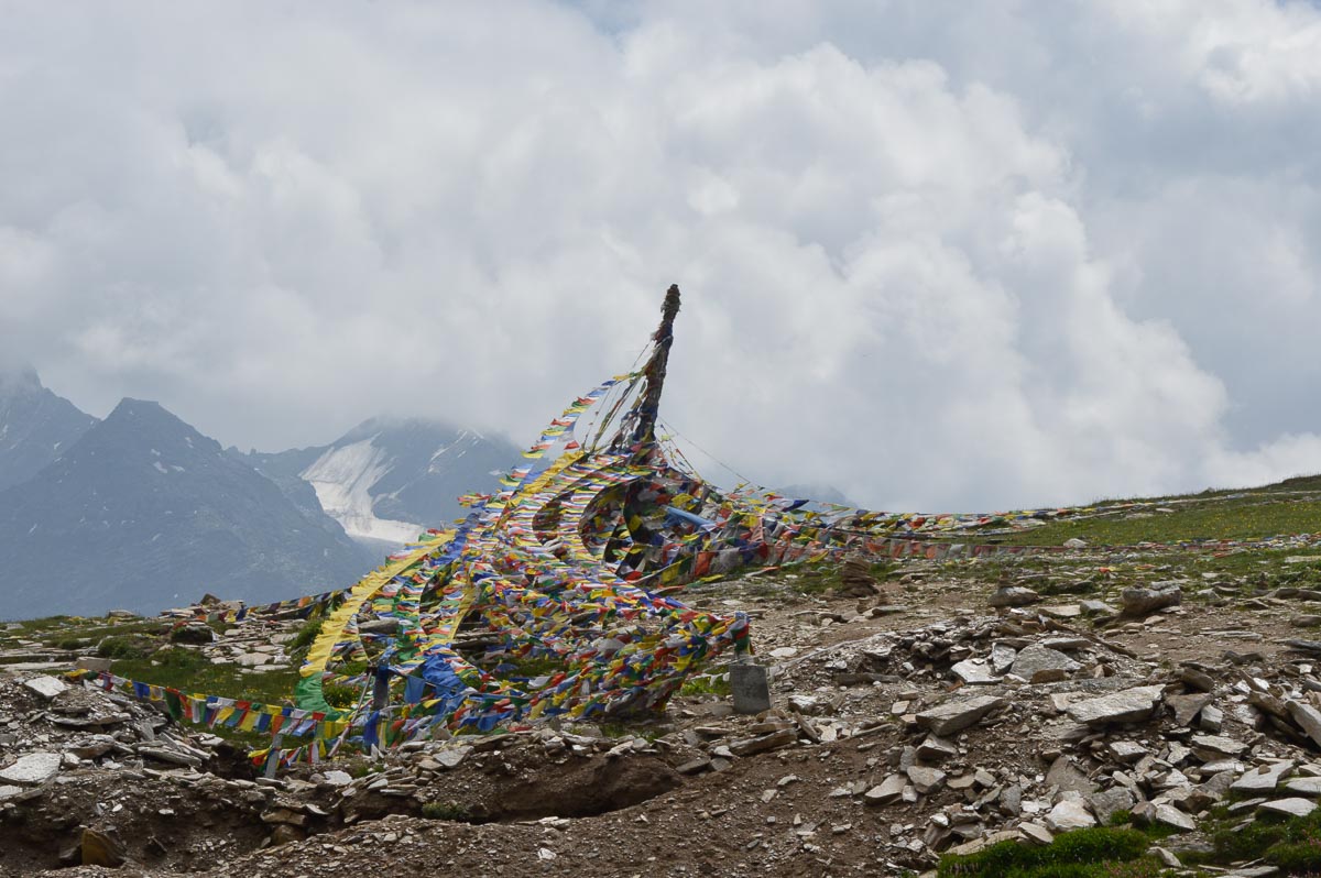
8:45 am: Stopped at Marhi ~11,200' for breakfast. Lots of dhabas and one temple.
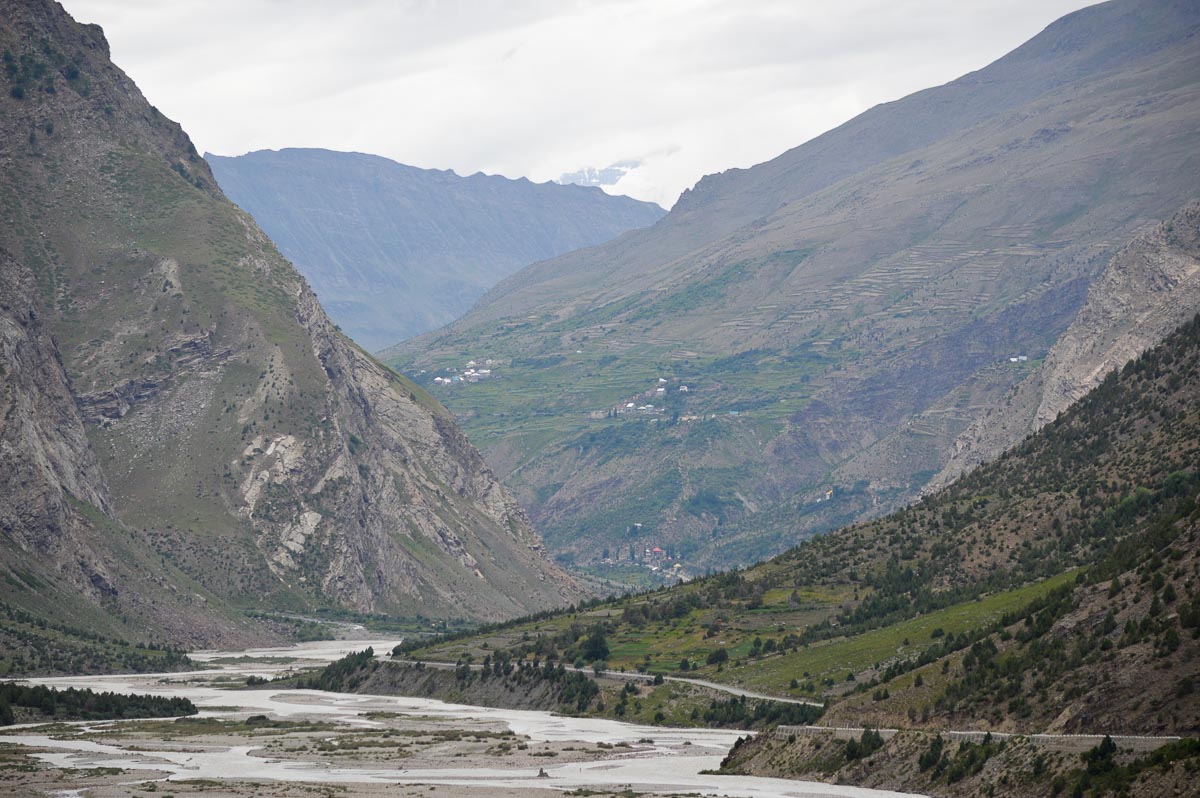
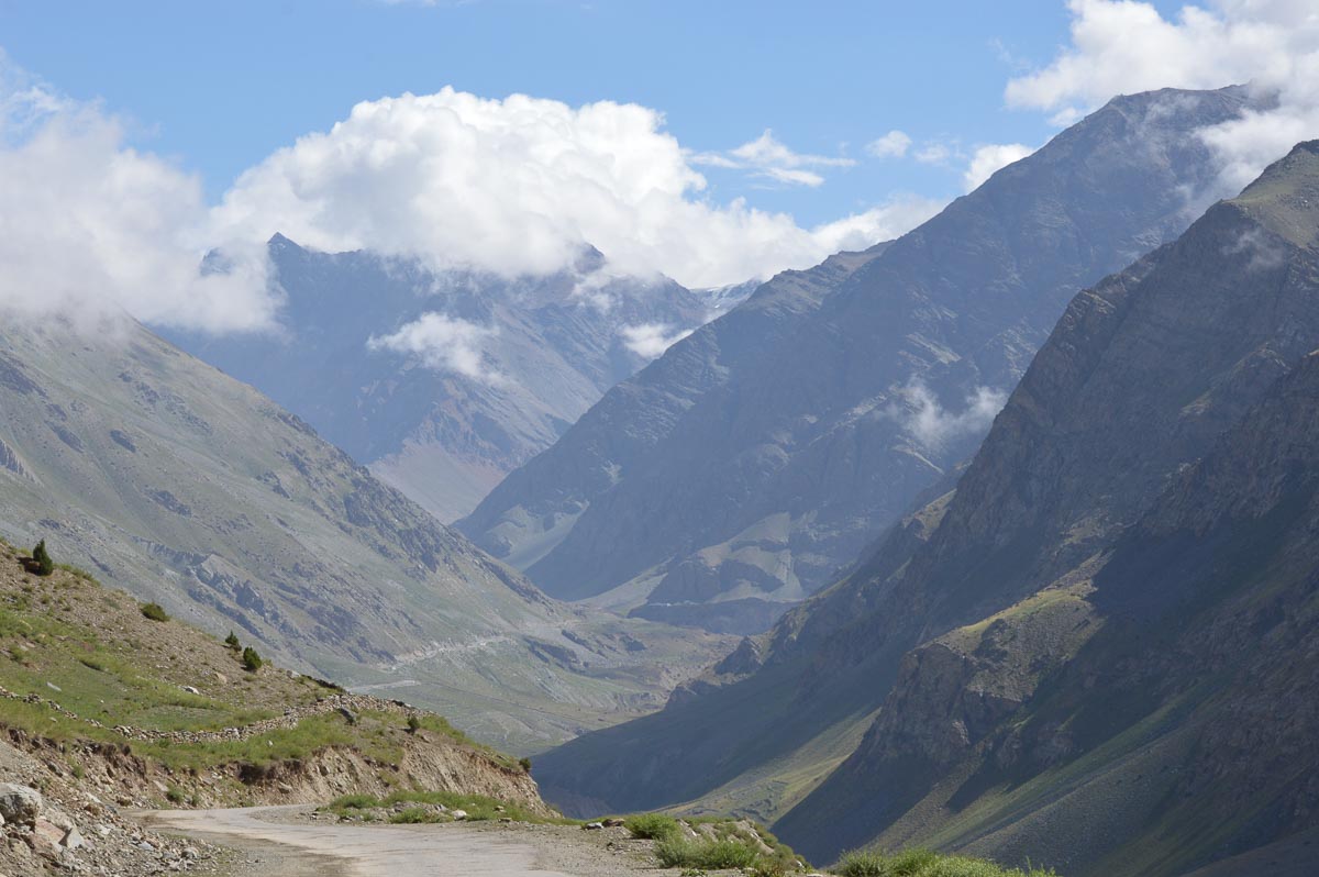
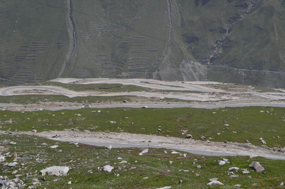
Road being repaired and widened, slow going to Rohtang Pass, 13,058', reached at 9:30 am. Cool, comfortable with a light sweater. A little clearer as we descended more or less straight down through many hairpin bends to the Chandra River. On this side of the pass the road was much rougher. With no trees, clear view all the way down.
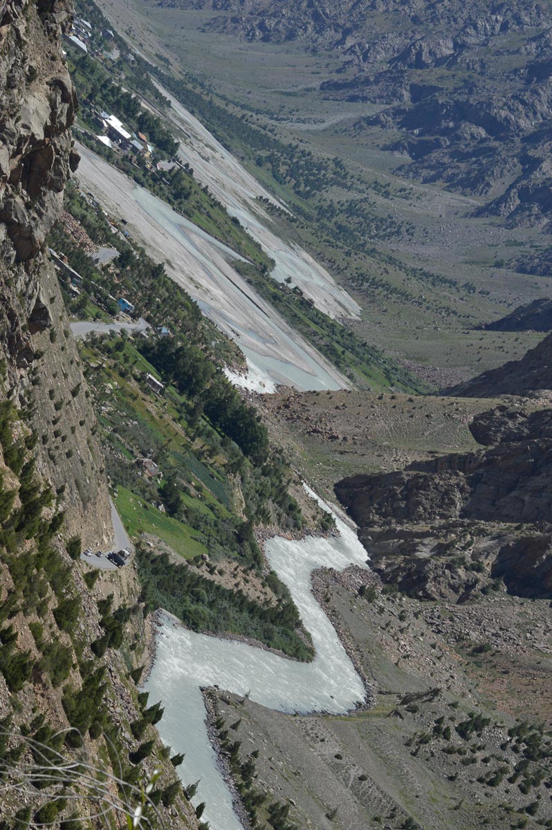
10:30 am: stopped at Koksar on the Chandra, 10,000'. Checkpost, registered vehicle. The Chandra is a slaty gray, looking like fast flowing cement as it carries a heavy load of glacier runoff and silt.
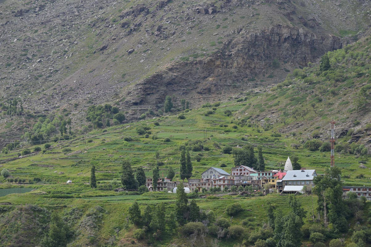
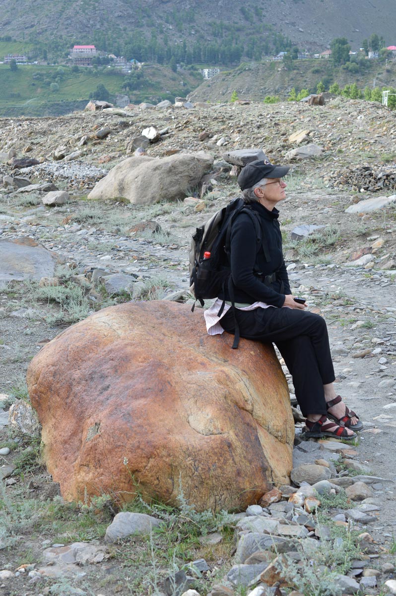
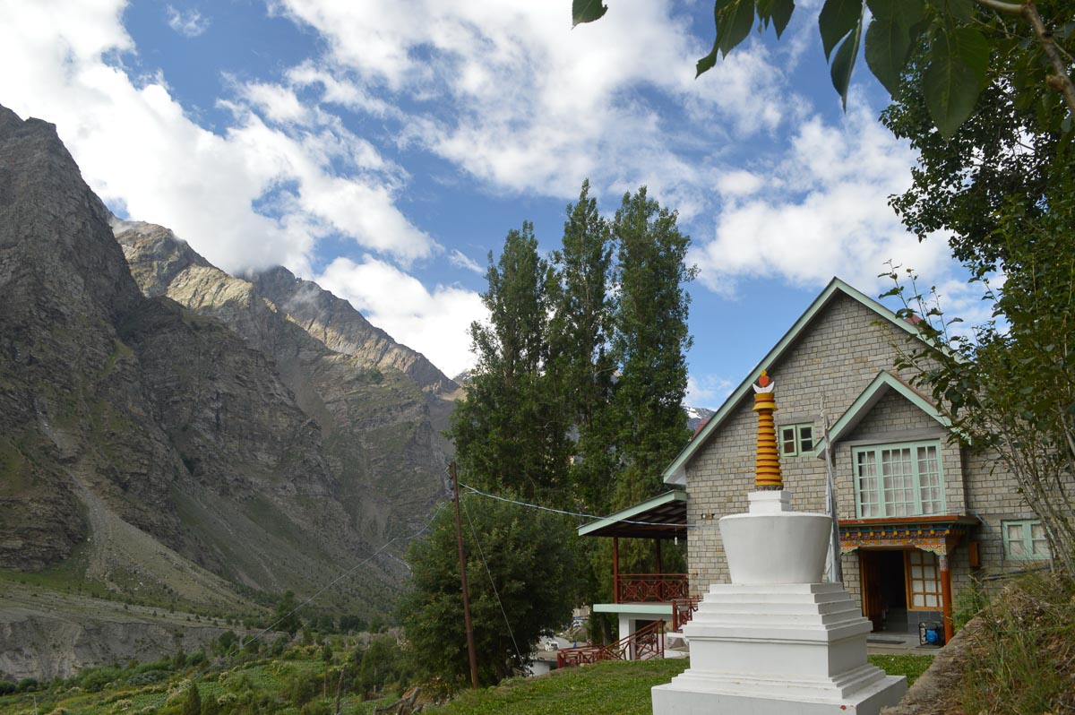
Mostly good road along the right bank of the river. Passed the entrance to the Rohtang Tunnel shortly after Koksar. 11:45 am: PWD Rest House, Sissu. Here, the valley widens with fields and trees around the village. Visited a small monastery above Sissu – not remarkable. No dhabas, only hotels+restaurants. Few tourists. Lunch in Hotel Triveni. Checked into the PWD Rest House about 2 pm. The caretaker is decidedly unhappy about this IIT Director checking in with an unregistered foreigner. Ironically, he himself would be looked upon as a foreigner in most of peninsular India. The altitude is about 10,000' with the valley sides rising steeply to 13-15,000'.
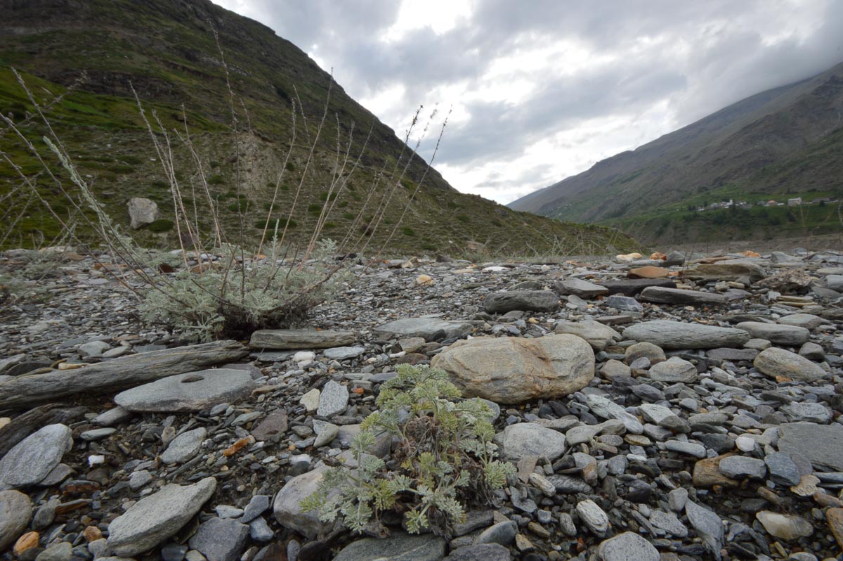
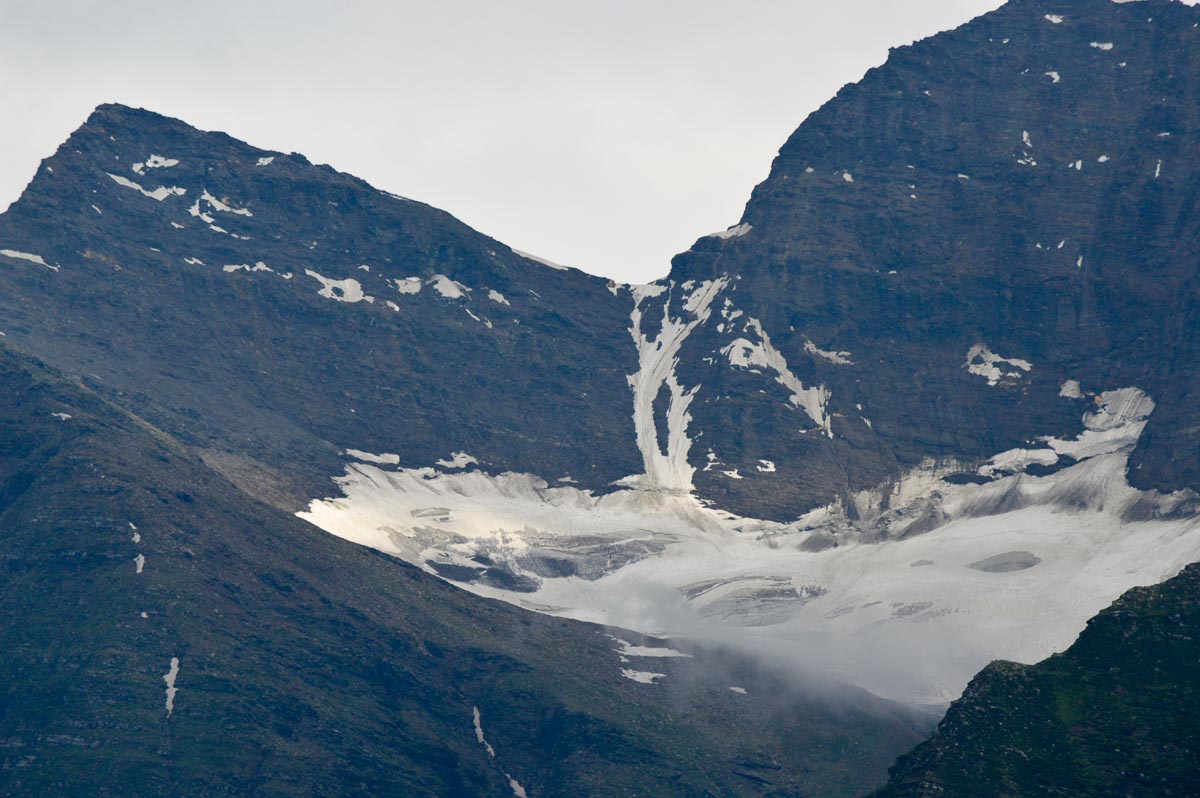
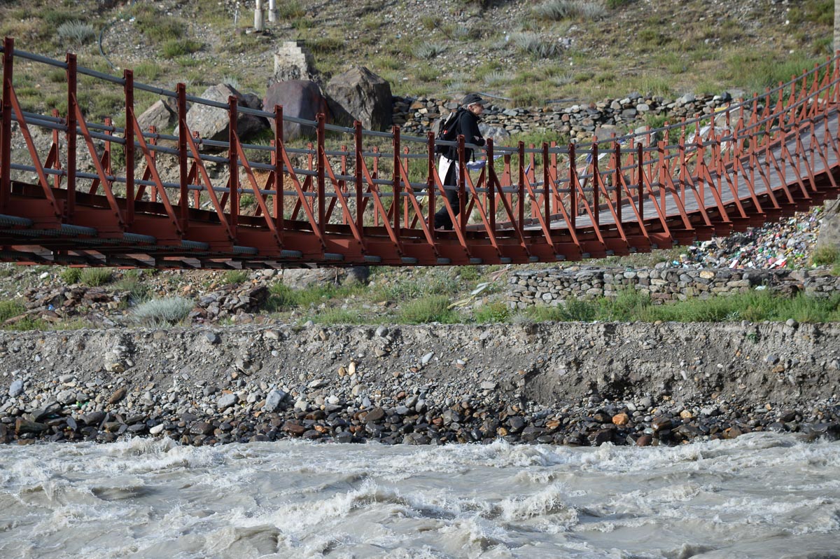
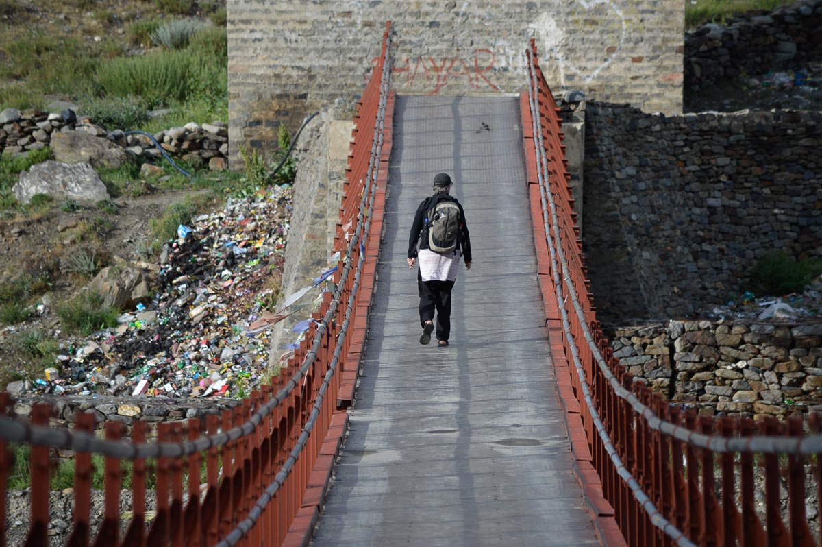
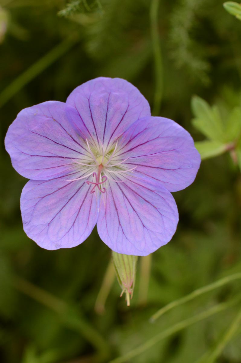
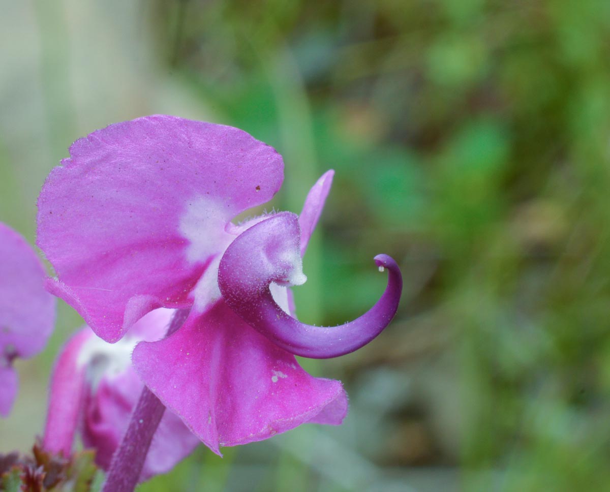
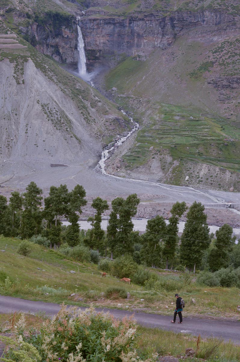
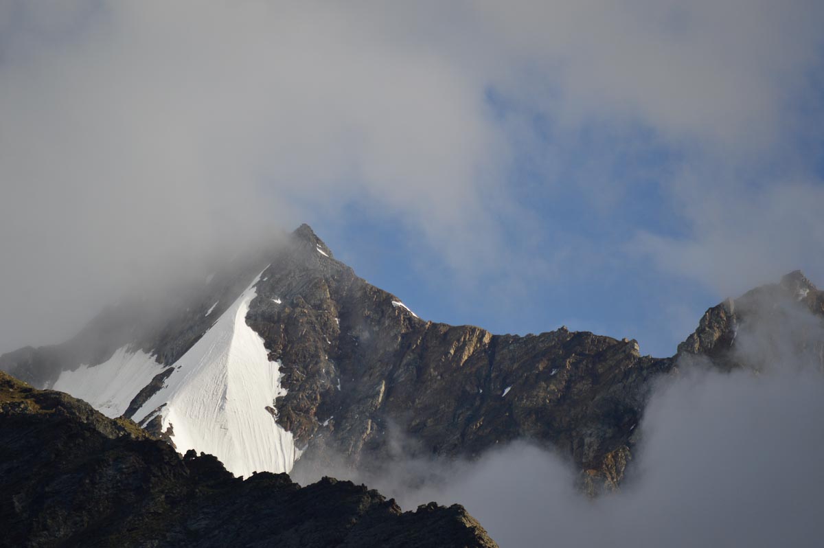
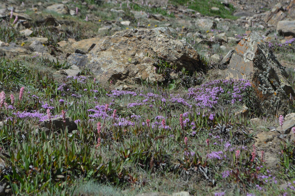
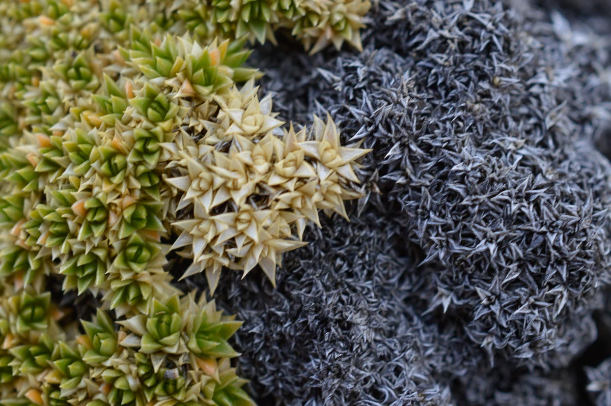
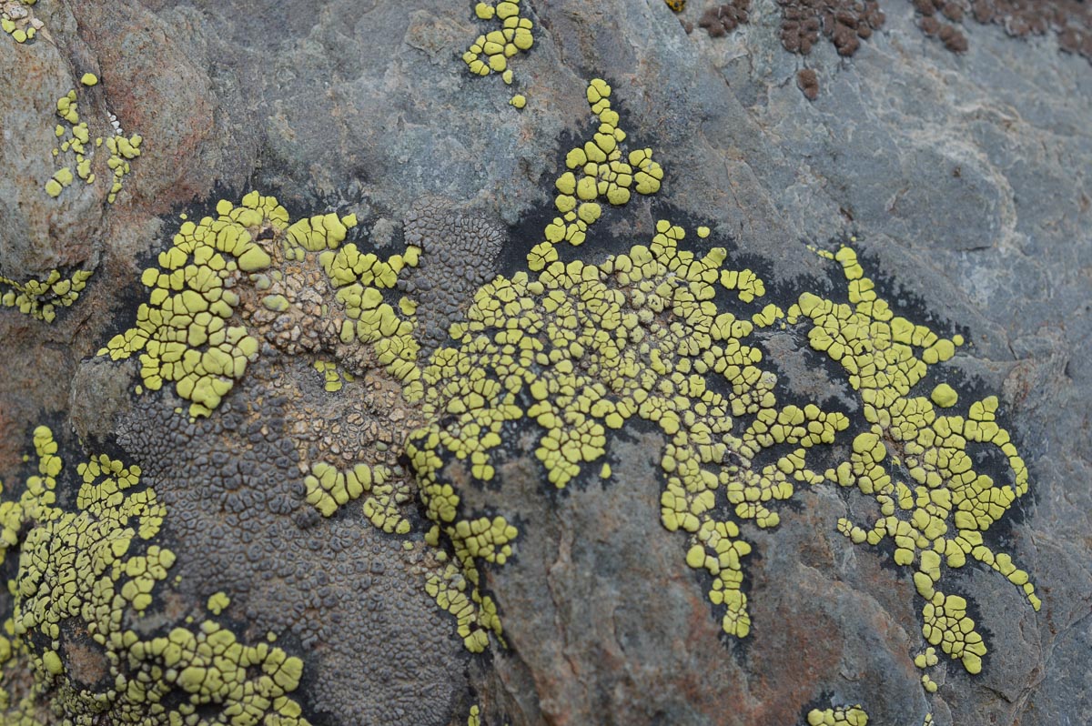
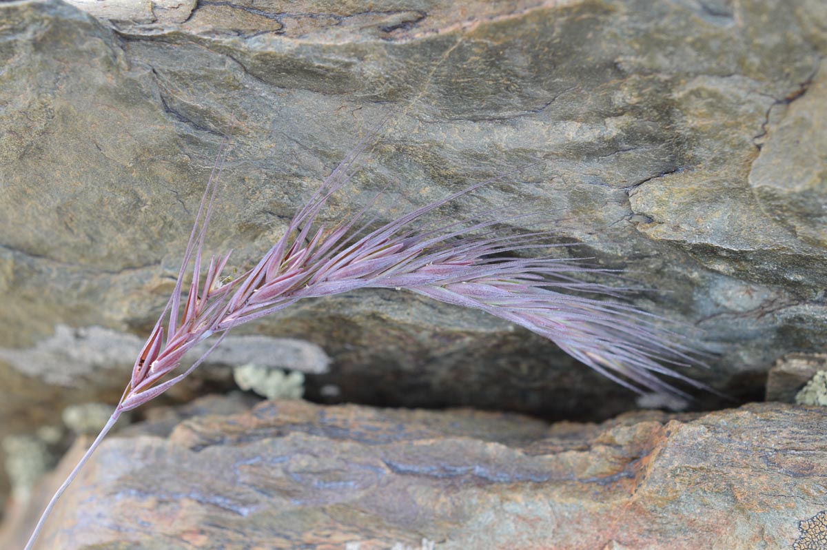
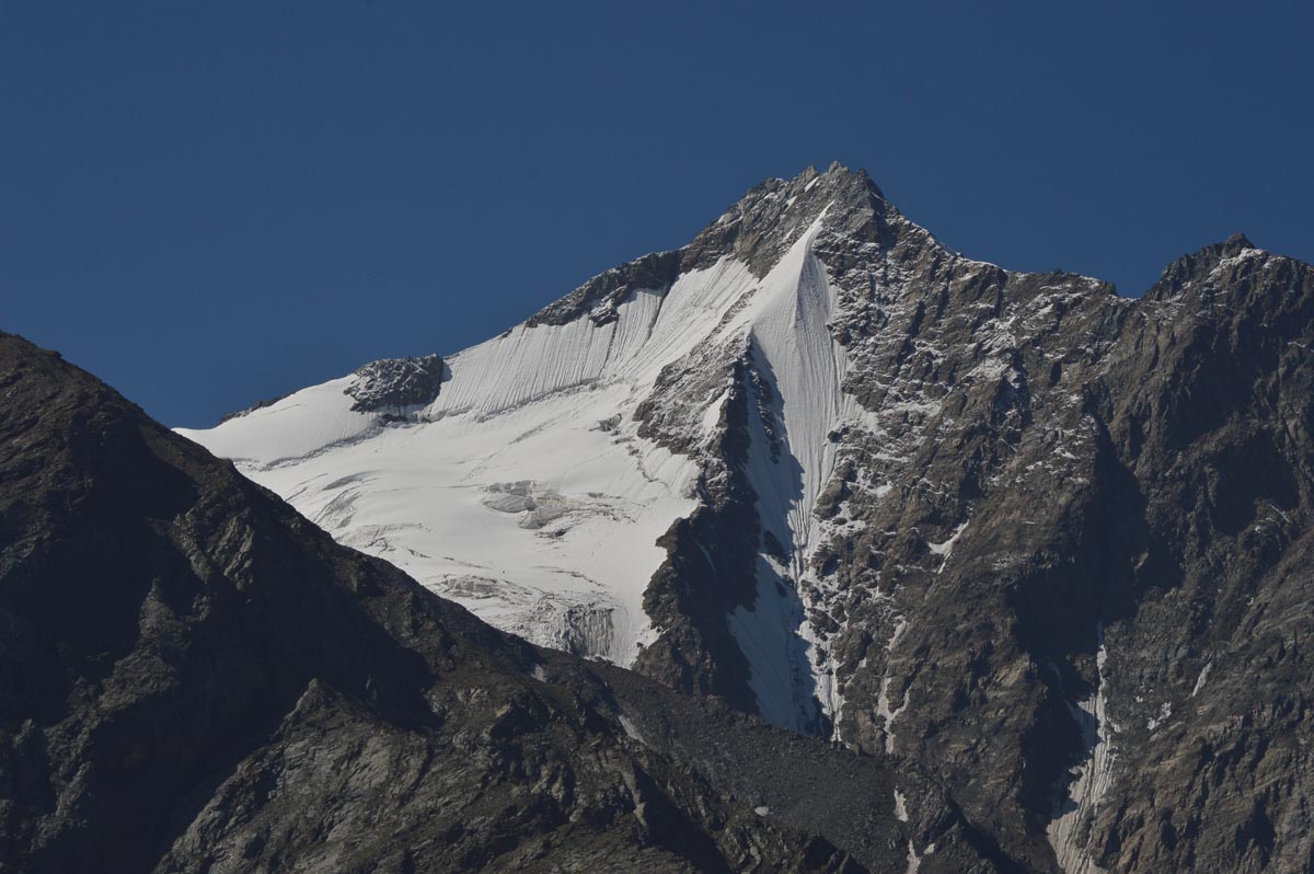
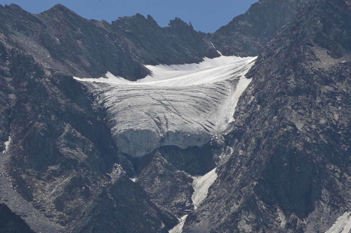
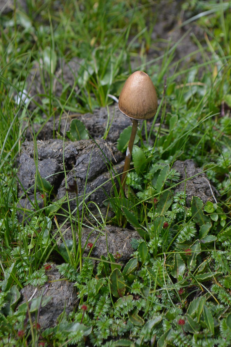
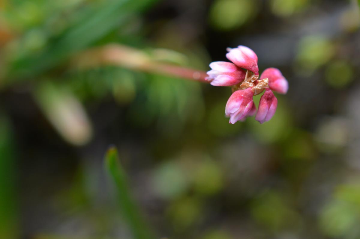
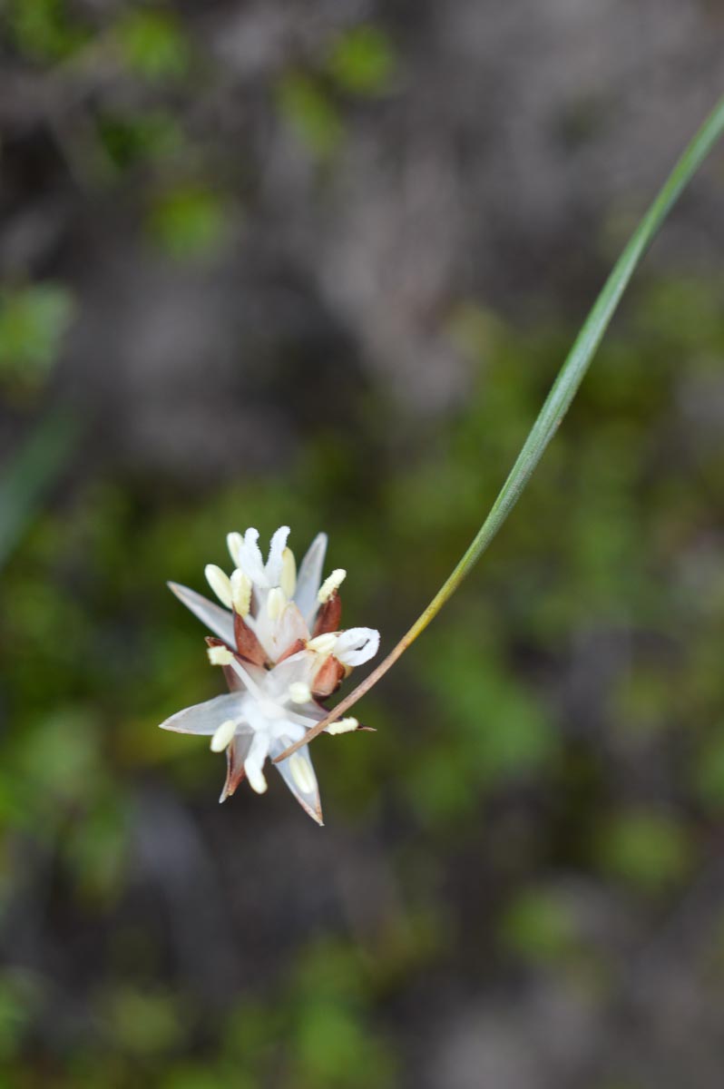
In the afternoon, we crossed a suspension bridge and walked down the left bank of the Chandra. Compared to Mandi, the mountains are practically devoid of vegetation, except for grass and alpine wildflowers. There are many vertical cliffs of 100s to 1000s of feet. Near the top, are some patches of dirty snow and small glaciers. These cirque glaciers are generally grey-brown, covered with stones. When we can see the upper surfaces, they are often sparkling white, indicative of fresh snow at high altitudes when it rains lower down.
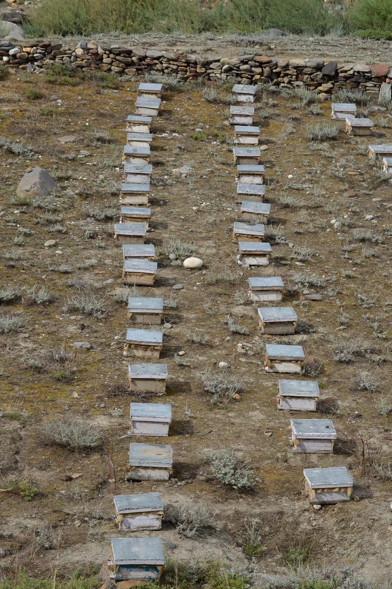
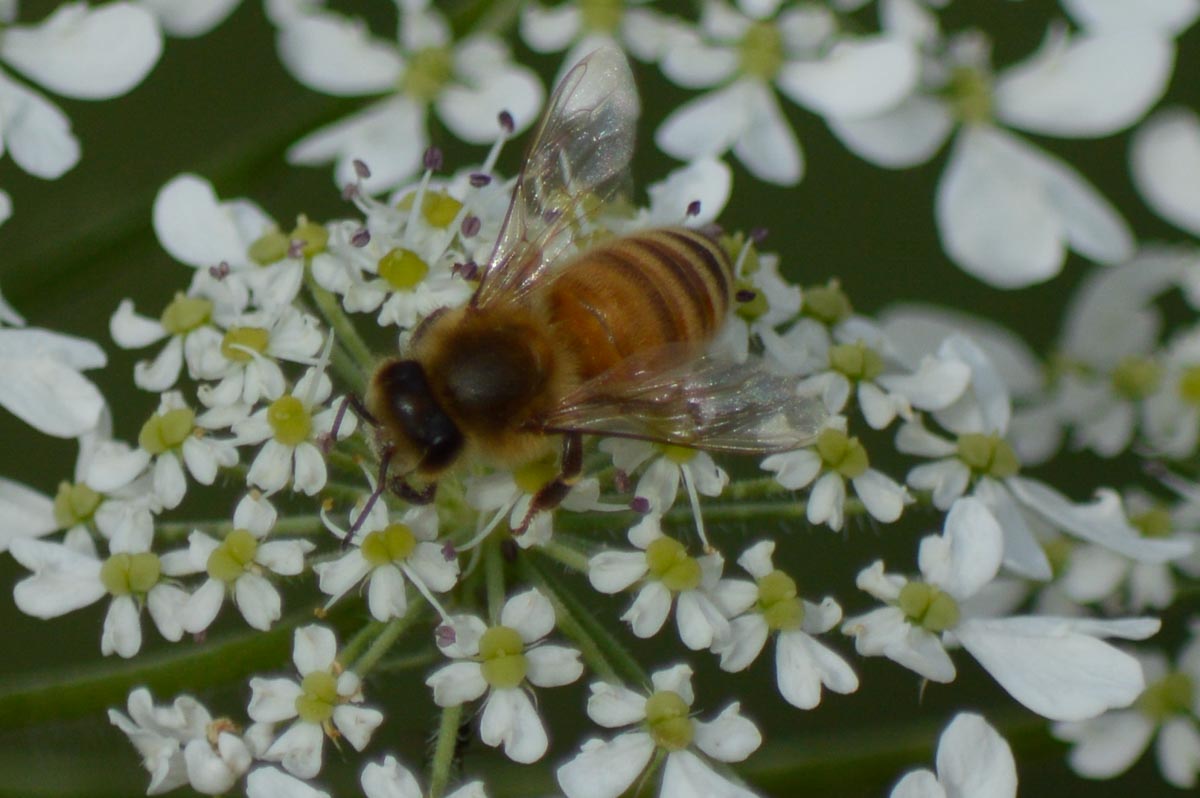
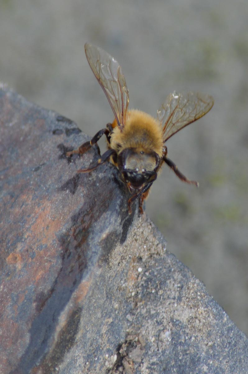
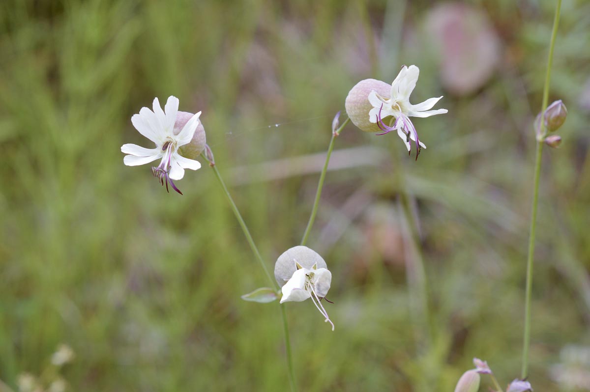
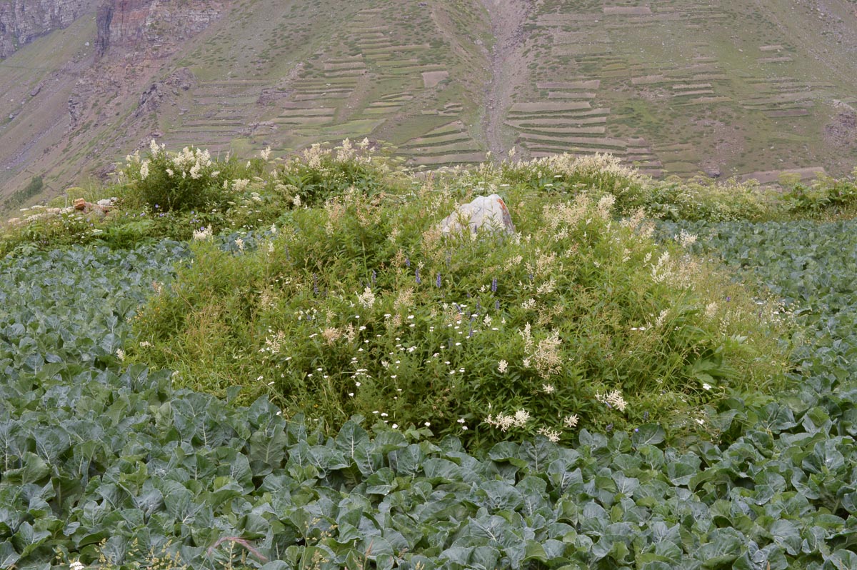
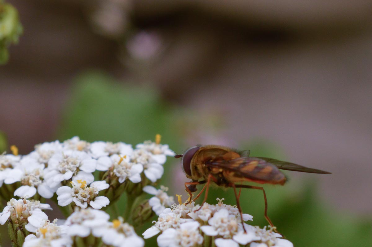
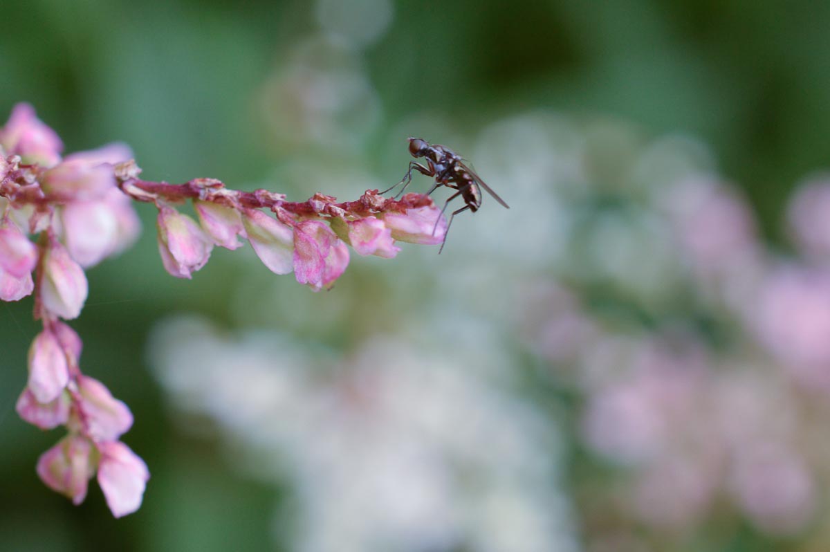
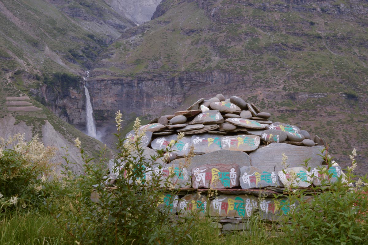
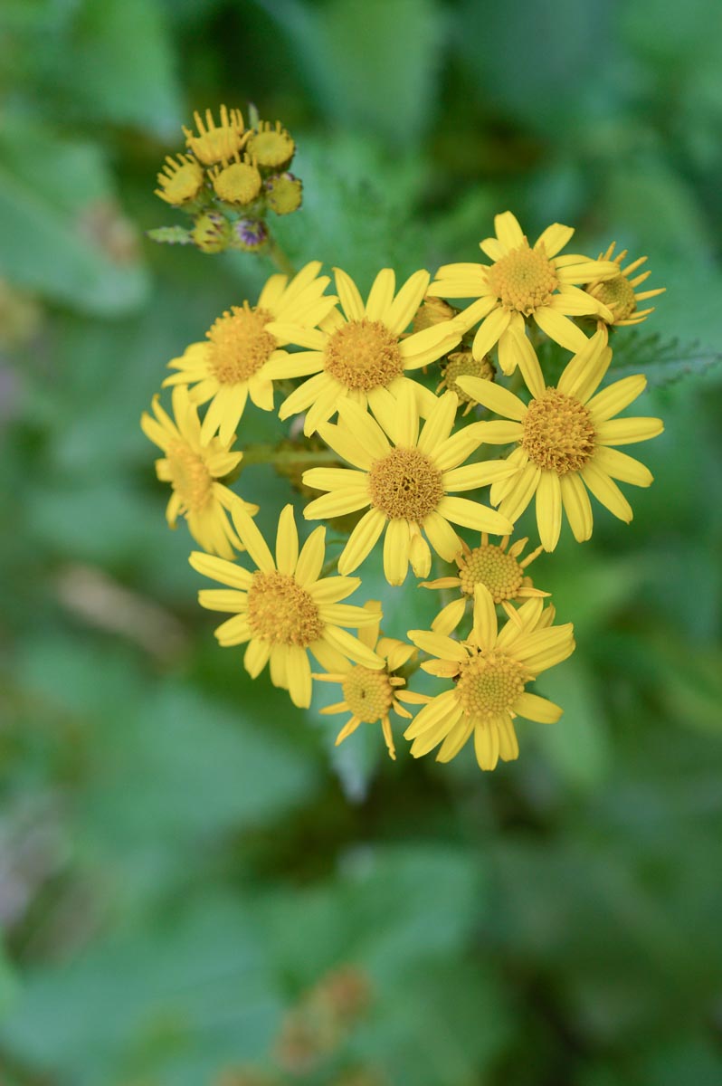
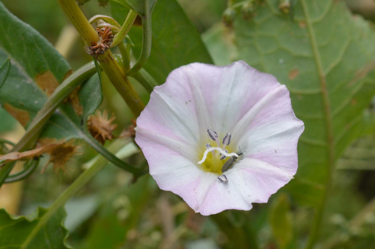
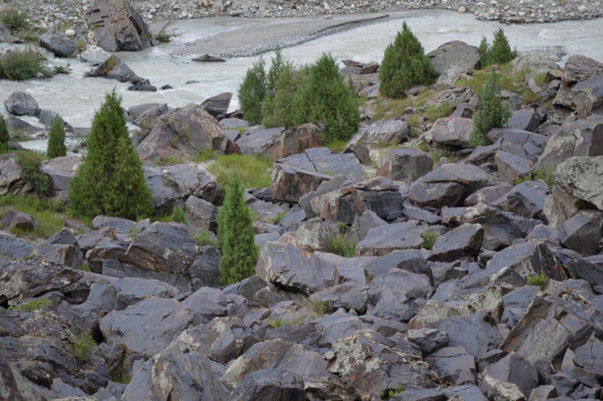
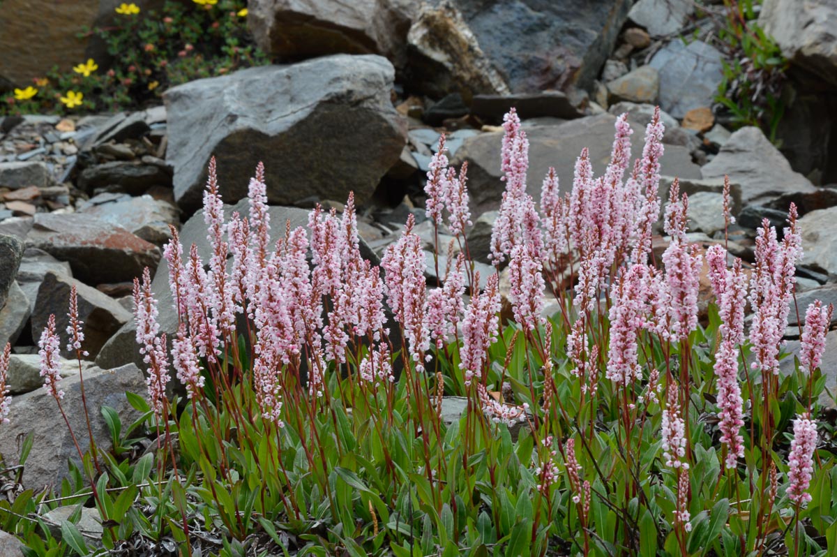
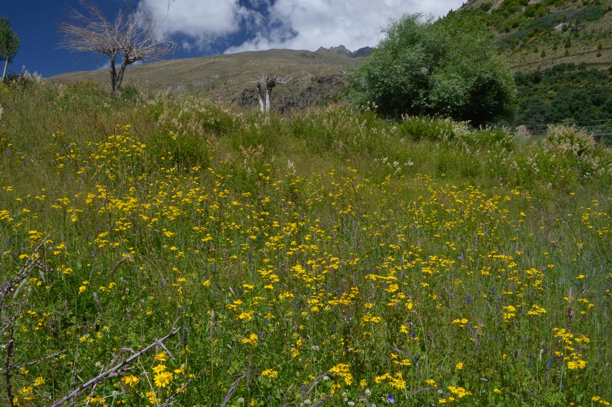
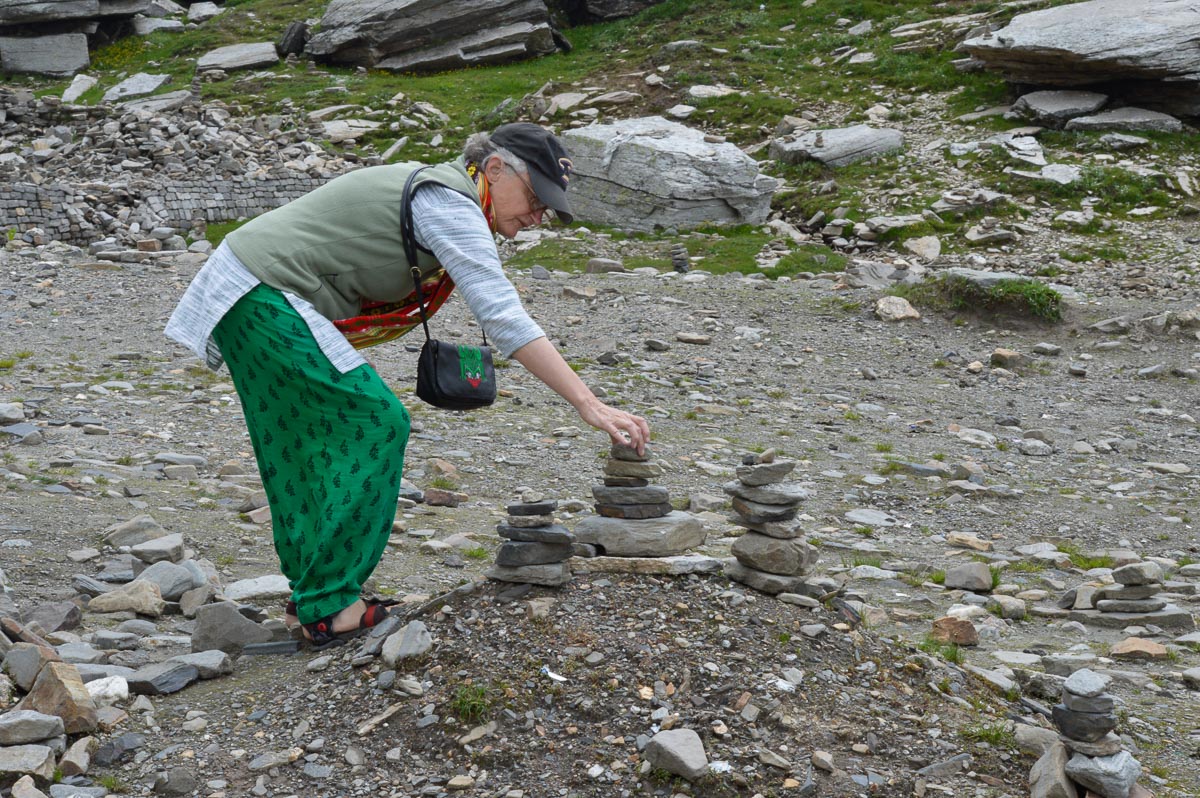
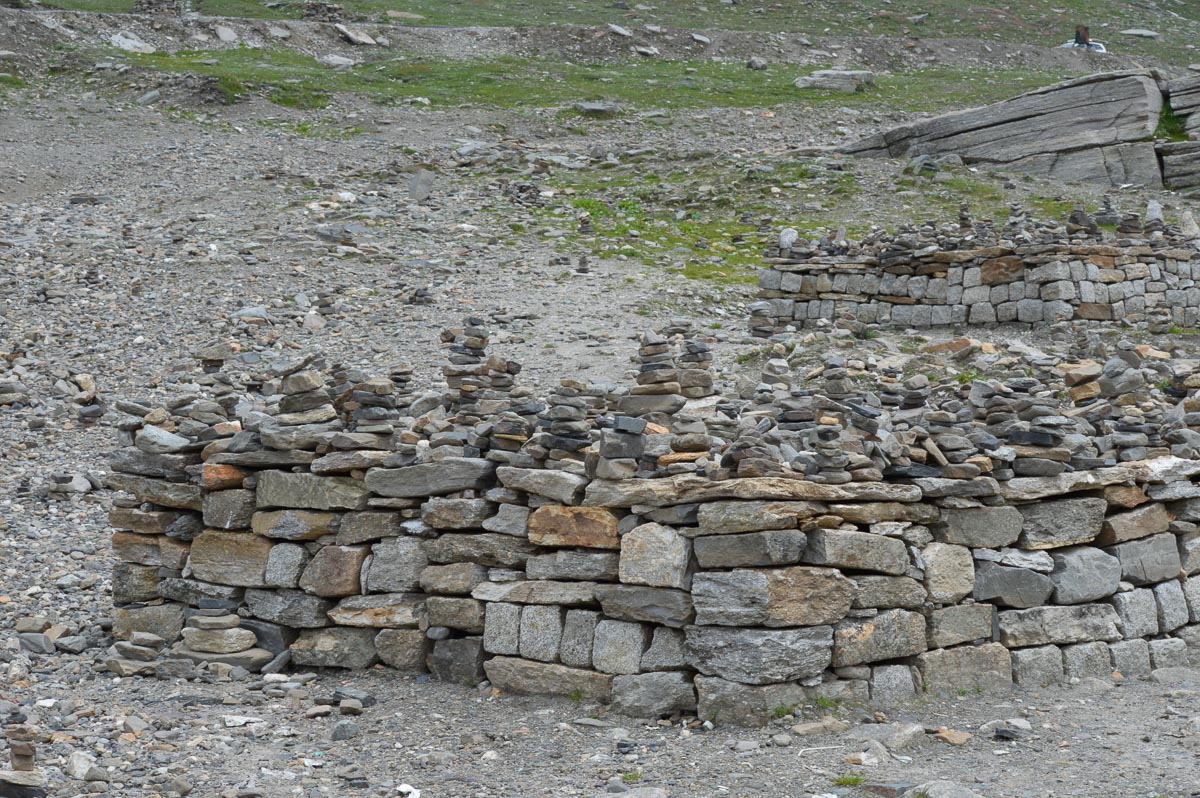
The river bed is strewn with rocks and boulders. Hardy farmers build piles of rocks as they clear the land for planting. Some rocks go to form walls; others are piled in a mound in the centre of the field. The fields are irrigated with channels running from mountain streams. Despite the rocky soil, there is a variety of colourful meadow flowers. Bee-keeping is popular here.

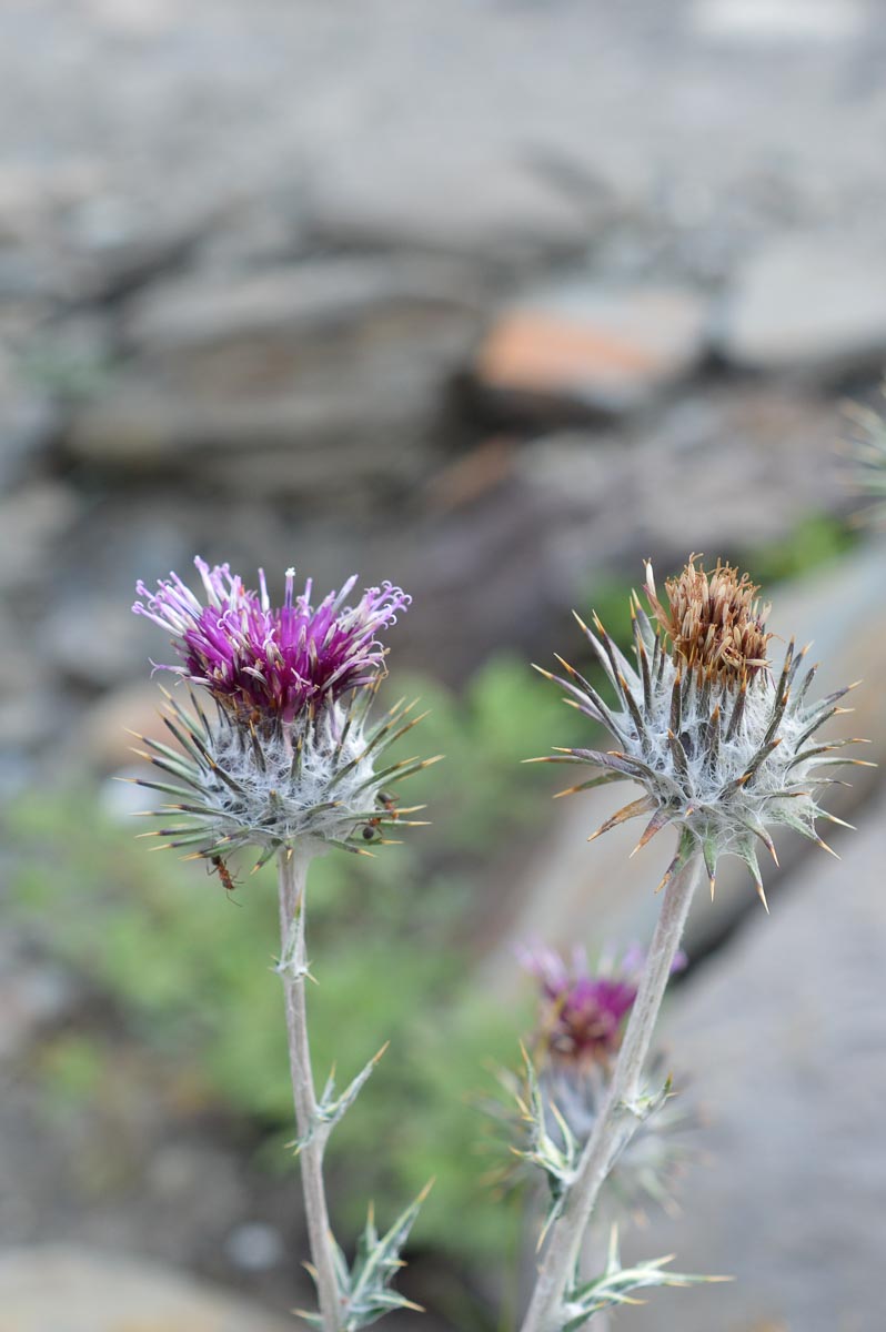
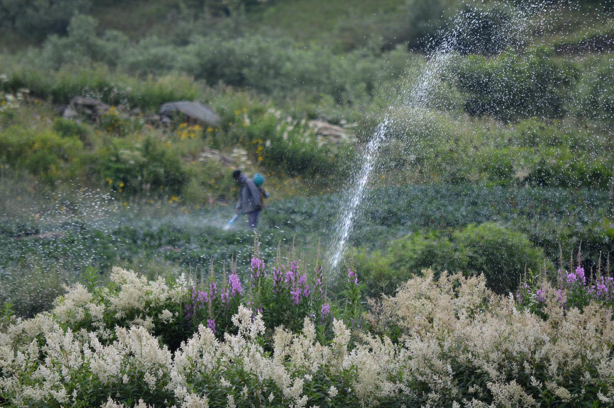
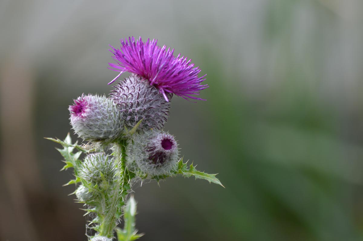
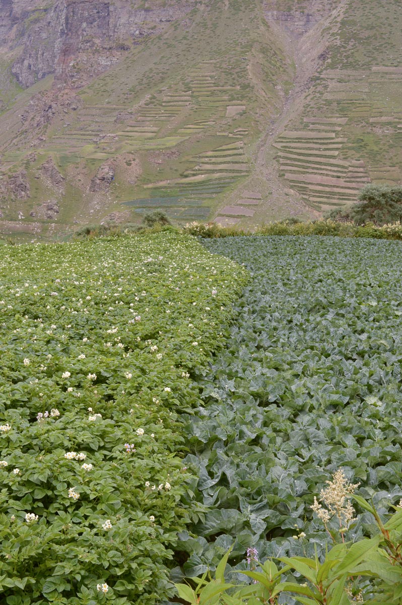
7:30-9:15 am: Drove 2 km above the Monastery. Walked down. Profusion of wild flowers lining the roads. Fields of potatoes, peas and cabbage. Modern techniques – backpack Slideshow:sprayers, sprinklers, petrol driven mini-tillers, and one polyhouse. The houses are large and multi-family. The area appears quite prosperous with several cars in evidence. Swallows and swifts dive and soar above the valleys, Indian goldfinch enjoy the multitude of flowering thistles.
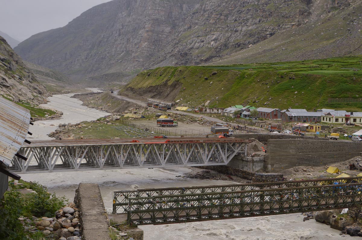
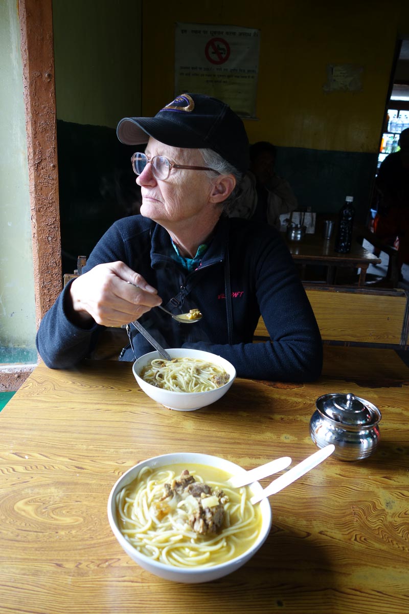
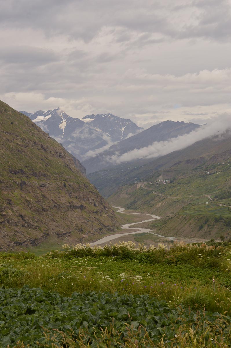
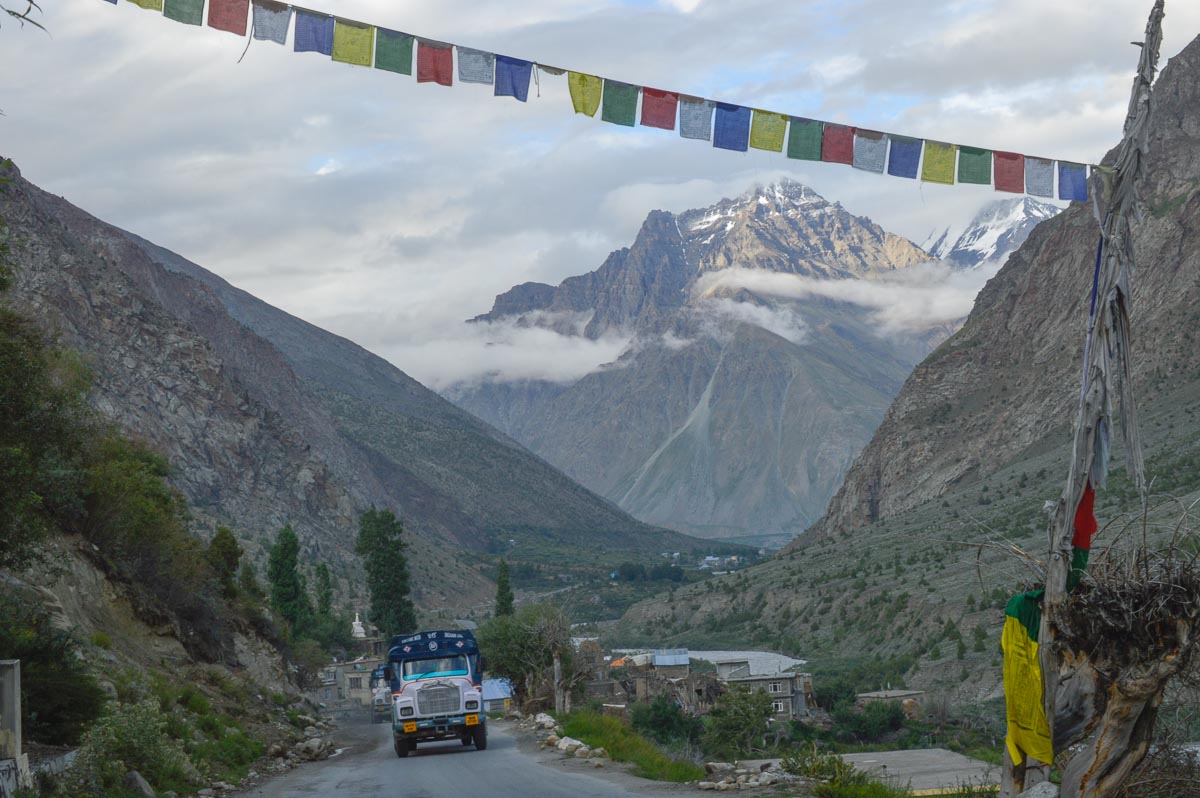
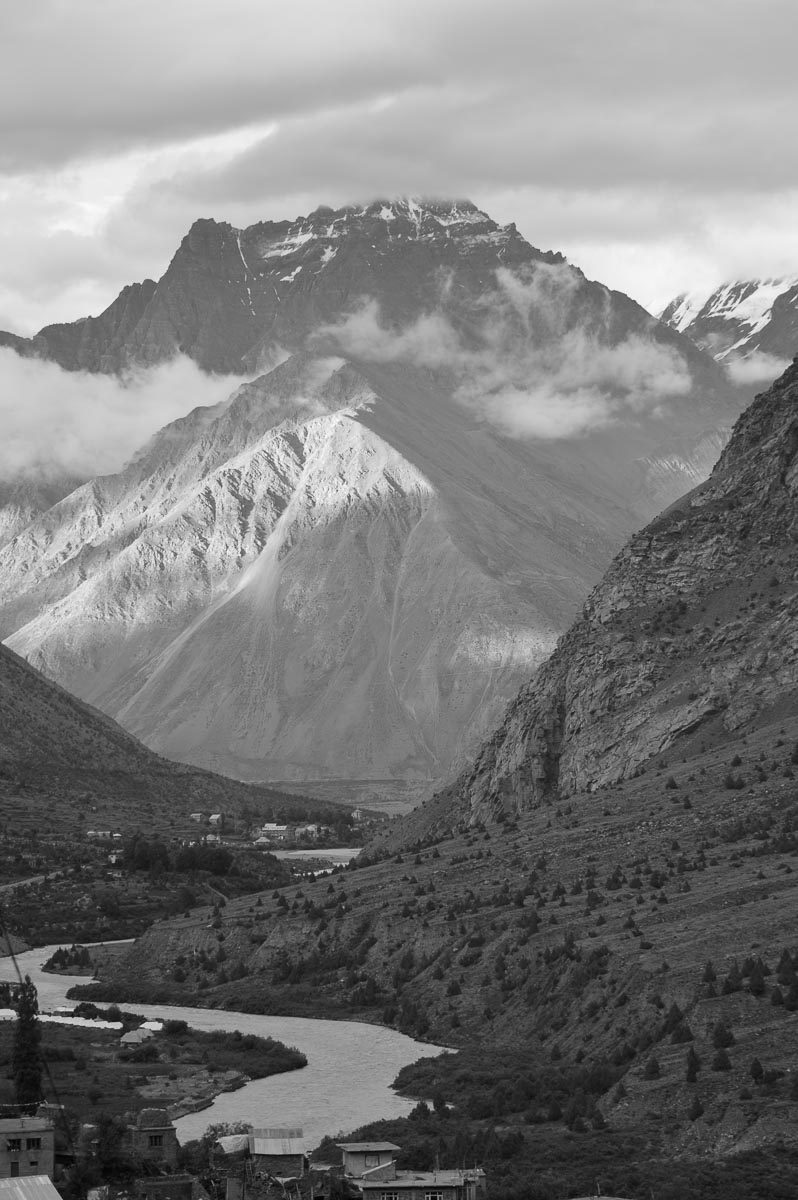
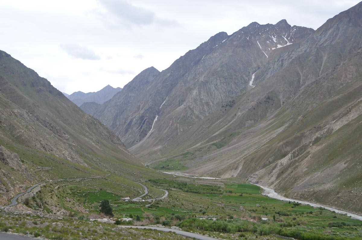
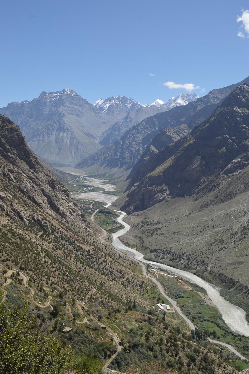
Left the PWD Guest House at 9:30 am. Breakfast en route, a bowl of hot tasty mutton and chicken thukpa with a view of the towering range that rises sheer out of the left bank of the Chandra. Fields and villages on the right bank. Mostly new 2-lane highway. Approaching Tandi, the road winds down to the river and enters a narrow section with the road cut into the valley side. Widening in progress for several km. Tandi is at the confluence of the Bhaga and Chandra. The two rivers merge to form the Chenab.
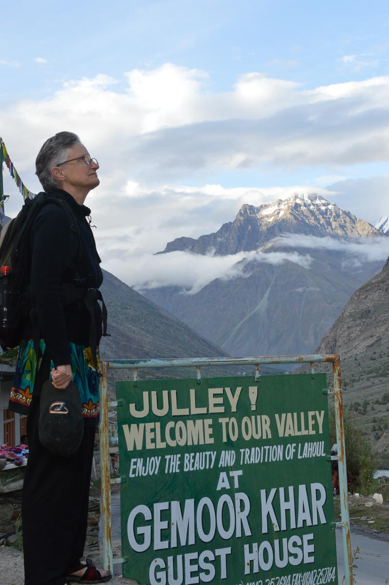
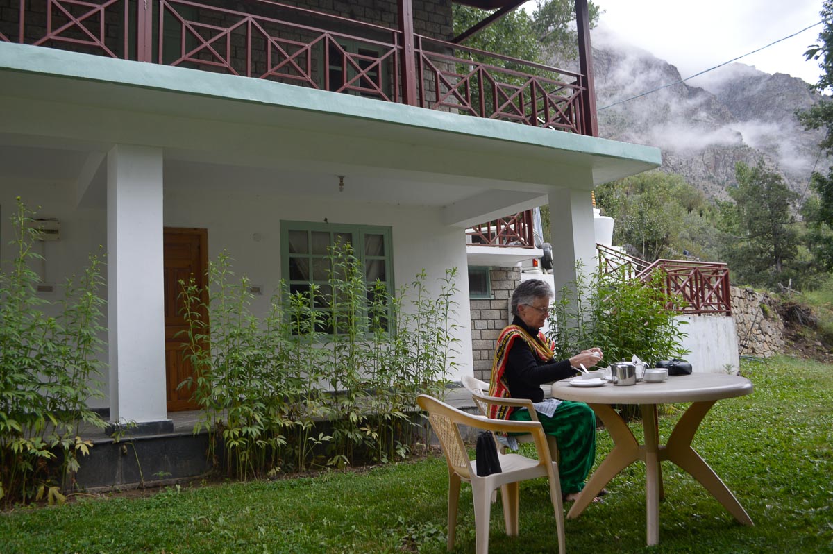
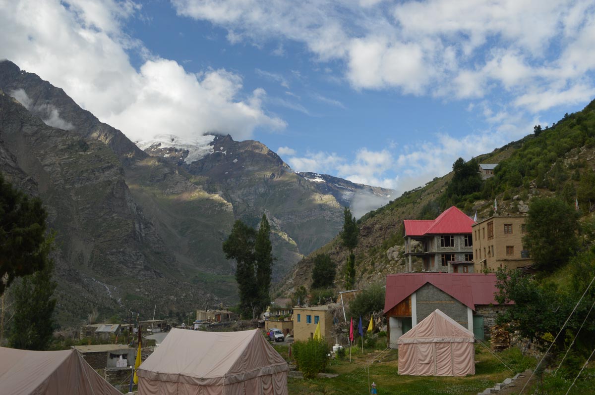
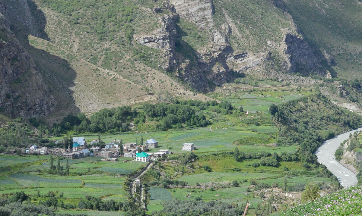
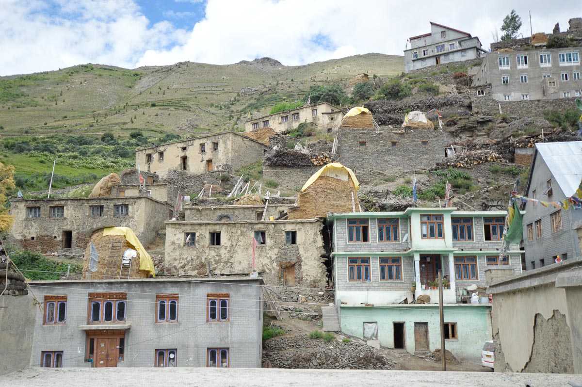
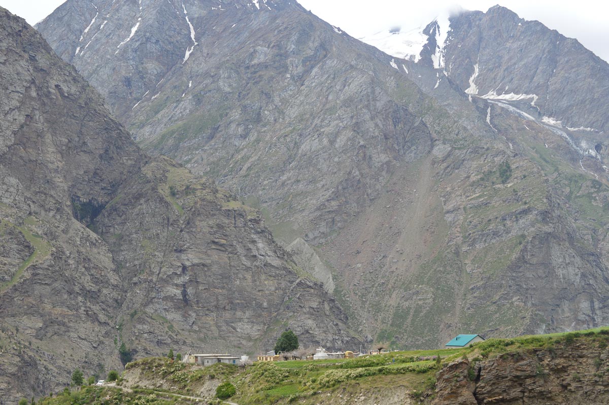
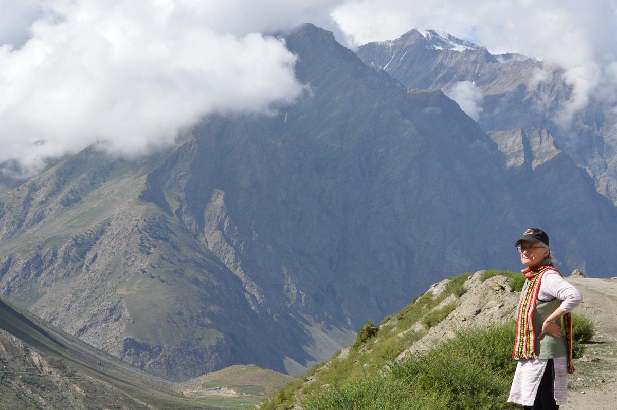
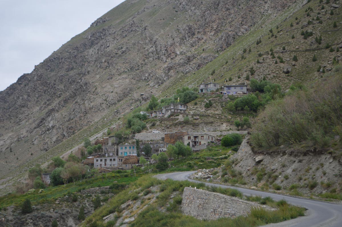
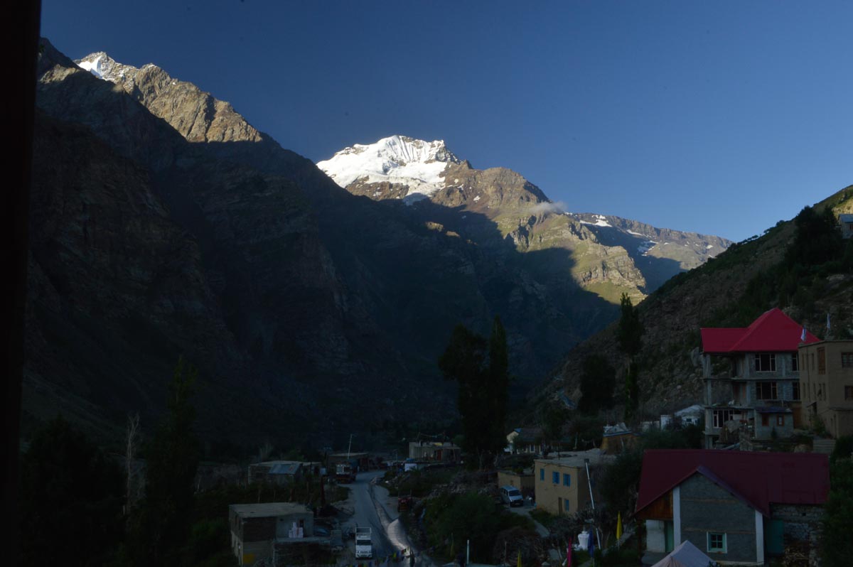
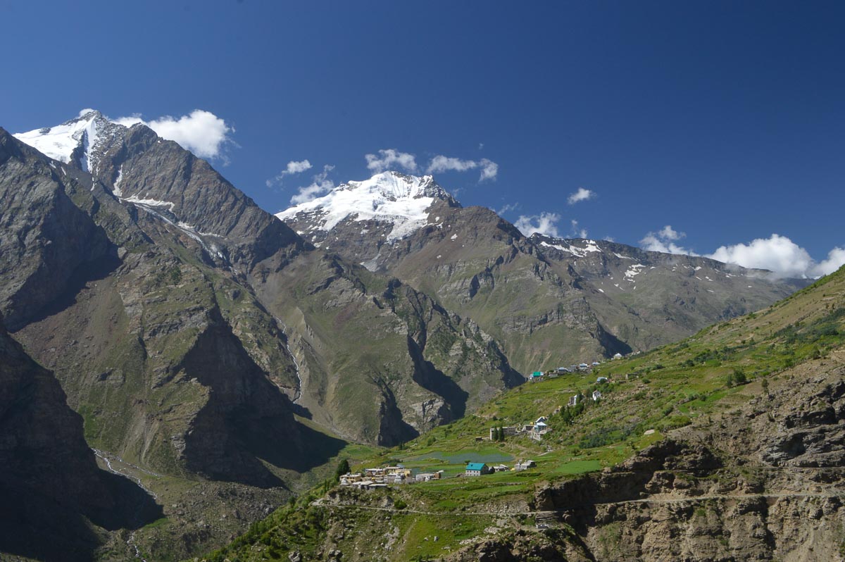
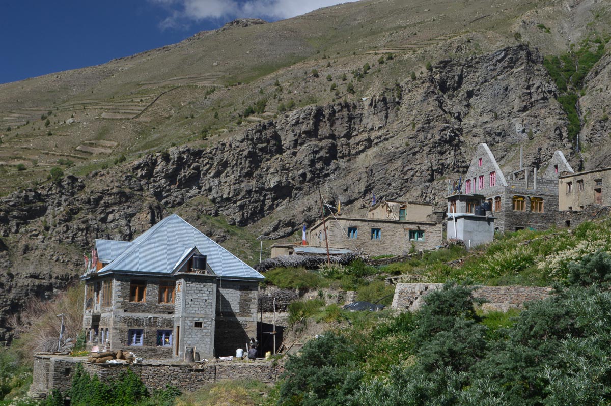
We drove up the Bhaga on the right bank to reach Keylong at 11 am (10,980'). Keylong is a junction town, district capital, a few 100' above the Bhaga, steep slopes on both sides. After a tea stop, drove on to well above the river to Gemur (11,000'). From Gemur to Jispa, the road comes down to the river valley which is much wider with many farms. Reached Ashok Thakur's Gemoor Khar Guest House at 12 noon. “Khar” means palace, the Thakurs were the erstwhile rulers of this area. About 50 km drive.
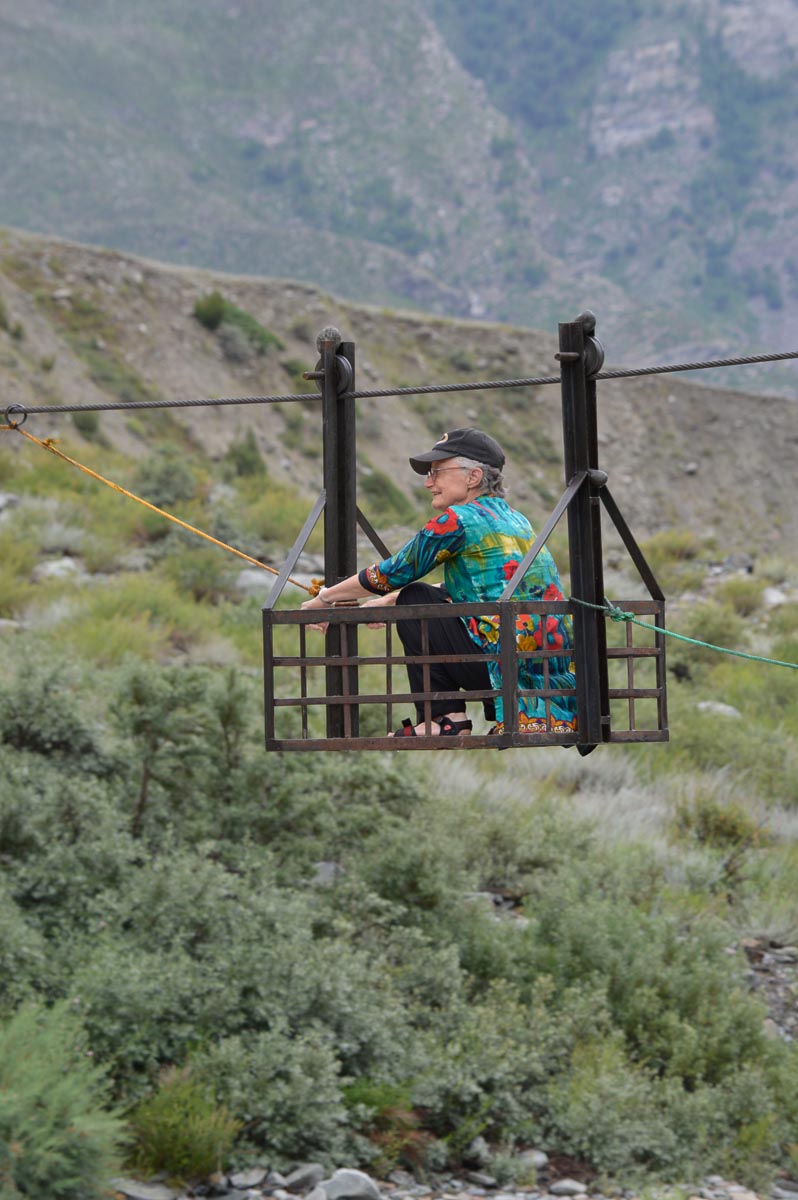
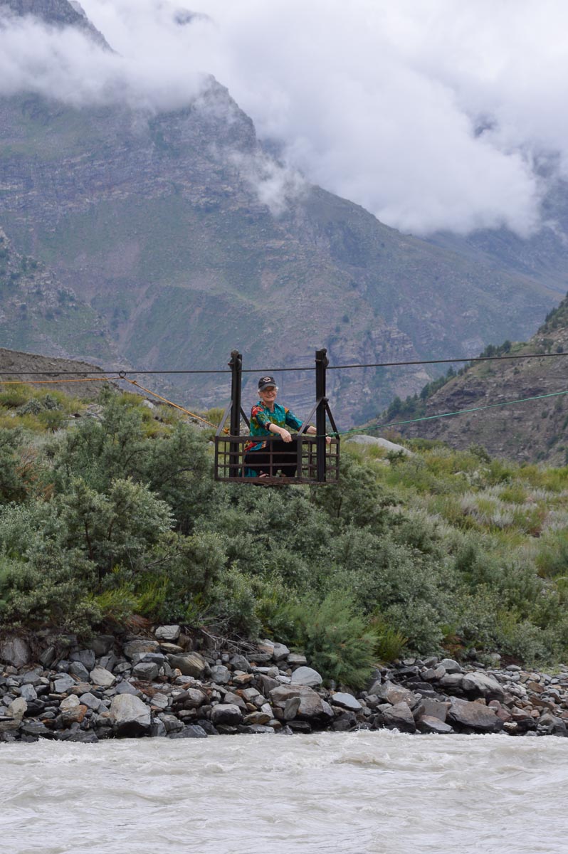
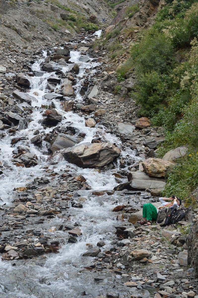
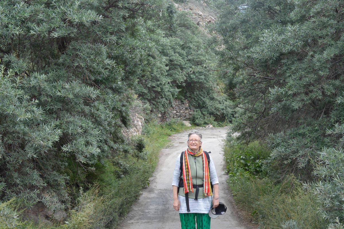
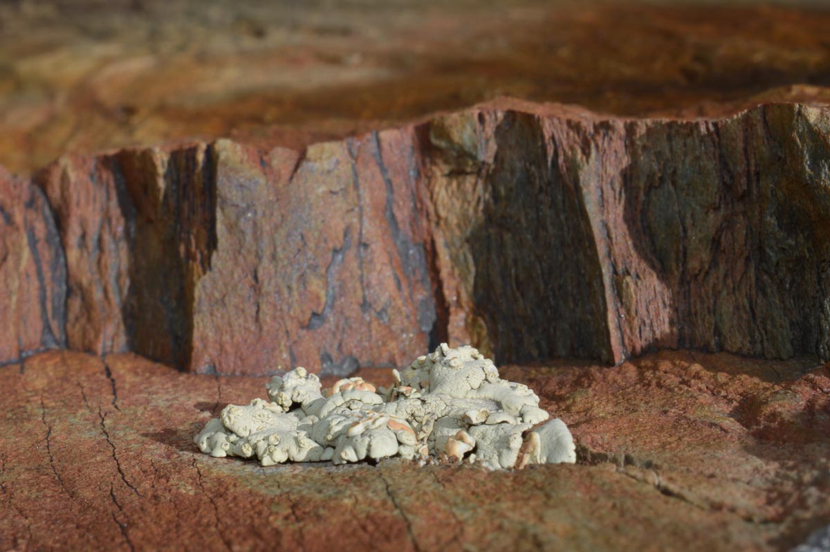
In the evening, walked down across the NH from Gemoor Khar through fields of potato, peas, cabbage and sea buckthorn to the Bhaga. Rode across the Bhaga in a cable basket (jhulla). Quite sturdy construction, no doubt by the PWD or IPH. The Bhaga is similar to the Chandra in terms of colour of the water, volume and speed of flow, and the plethora of pebbles along the shores. Dark red rocks are common, indicative perhaps of iron deposits?
The houses in Gemur are smaller than in Sissu, more like those in Mandi district. The people seem to be a mix of Tibetan-origin Buddhists and Thakurs.
Had mutton momos from a nearby shop for dinner. Night was pleasantly cool, down to perhaps 10-12C.


Awoke by 6:30. Cloudy sky, with patches of blue. Sun rose at 7:15, clouds started to dissipate with the warmth.
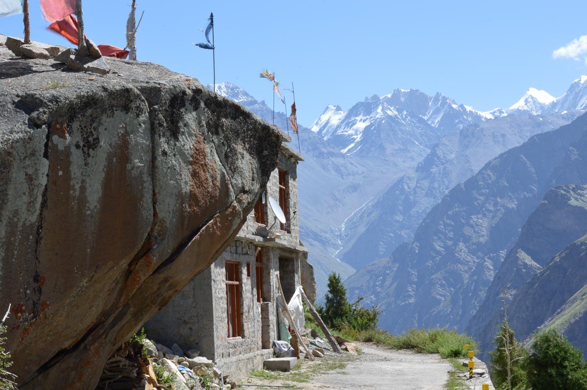
After breakfast of cornflakes, toast and hard-boiled eggs, we drove to Kulang towards Keylong, above the narrowing valley. After a fewe km, the valley broadened out on the left bank. Below is the picturesque village of Thenu, surrounded by vegetable fields. Behind in the cliffs about 100' above the valley floor is an old but functioning monastery. It resembled many Buddhist cells in Bamiyan in Afghanistan and was even reminiscent of the dwellings of the cliff-dwelling American Indians in Arizona and New Mexico
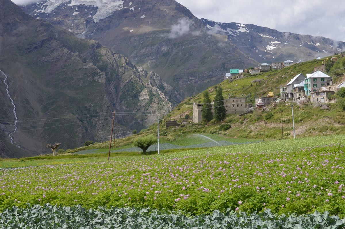
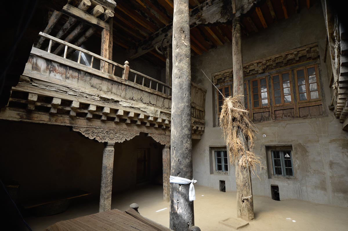
The road wound up and back to village Khangsar above Gemur. Unexpectedly large cultivated plateau. Mostly vegetables, with sprinklers. Visited a 400-year old (?) palace of the Thakurs. A big rectangular building with 3 floors and 60 rooms, said to have had 108 rooms originally. The walls are stone and masonry, the floors are wooden covered in cowdung. Clean but dilapidated, only a few rooms used now as a monastery.
Walked along the road through the plateau to village Mai. The road clings to the hillside with steep falloff on the outside where swifts and swallows plunge and soar in search of insects. At a swift mountain stream we met the familiar white-capped redstart flitting above the water in search of prey. Lots of sea buckthorn as tall as small trees along the road. Brilliant red poppies, geraniums, and daisies decorate house yards. At the end, it winds down to a monastery above Gemoor Khar. The road ends at the monastery, there are paved steps down to the NH. Reached the guest house in time for lunch – chicken curry, rajma dhal, bitter gourd, rice and chapatis. After intermittent sun during the morning, a stiff wind has sprung up and the sky is overcast.
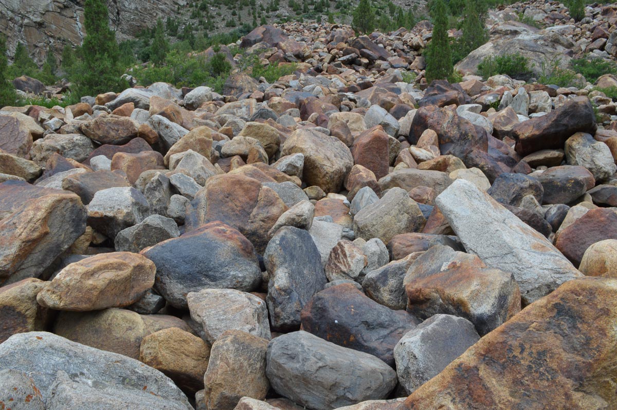
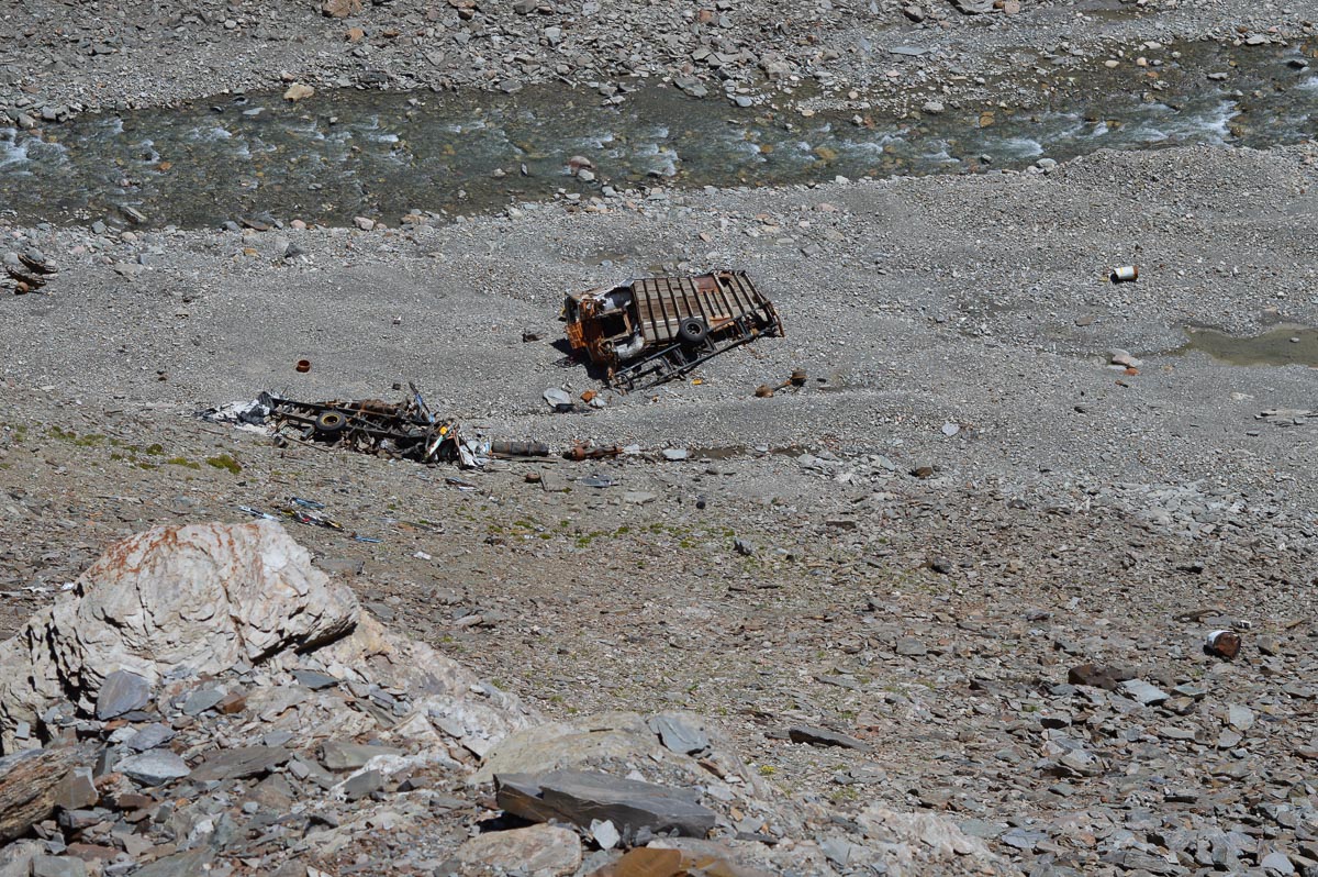
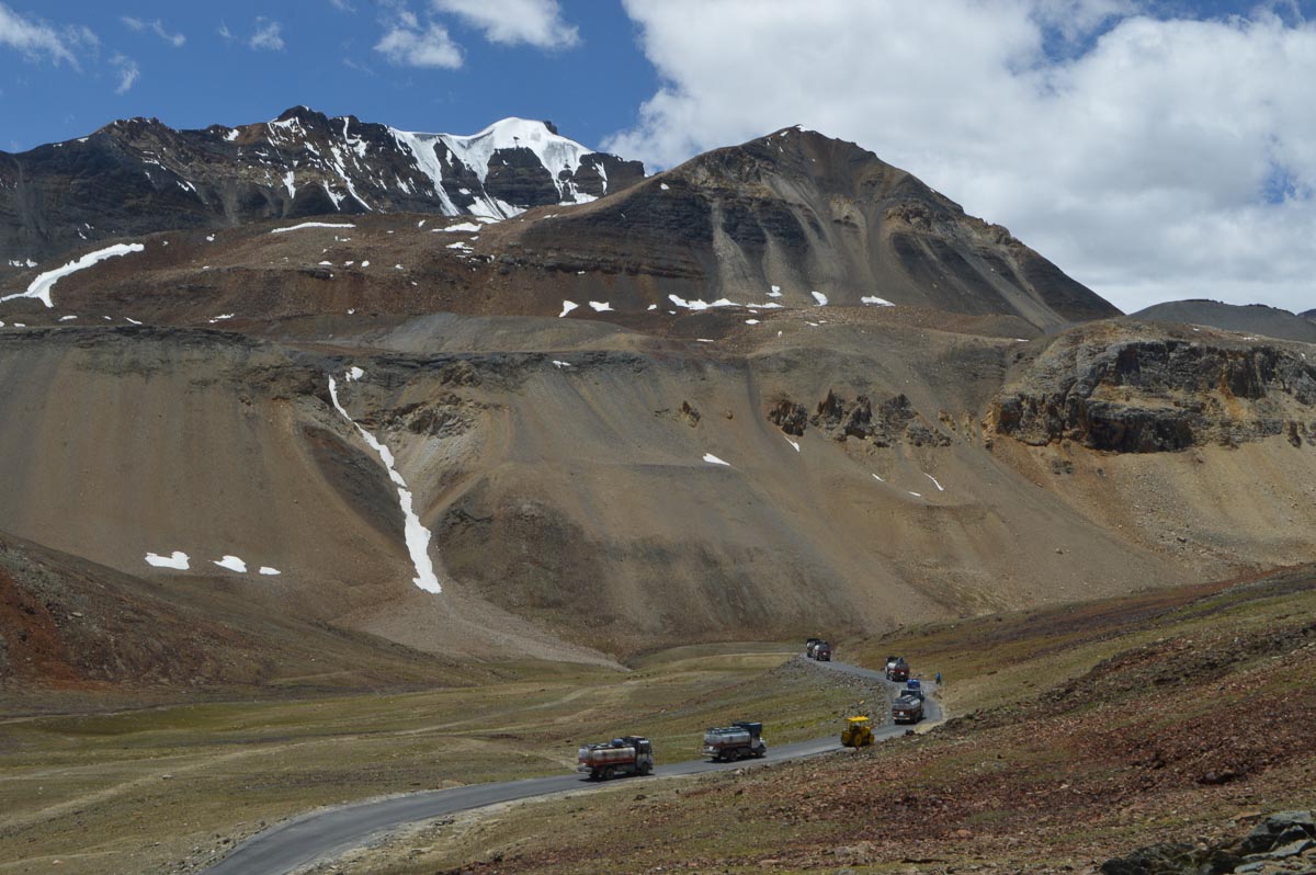
In the evening, we drove through Jispa to Darcha (about 6+10 km from Gemur). Jispa has a number of hotels, home stays and campgrounds. Little else. Lots of motorcyclists and drivers stopping for the night. In fact, the road, itself seems to be the main attraction here. Only a small minorities of drivers venture off the main roads to explore more of the local culture and ecology. En route to Jispa there is a section of about 200m where the valley is covered with a field of massive reddish boulders, 2-6' in dimension. Very little vegetation save for a few evergreen trees about 20' tall. Perhaps from a landslide during an earthquake 100 or more years ago? Just before Darcha is a similar rock field of blackish rocks. In this field, the rocks are sharper and the trees only about 10' tall.
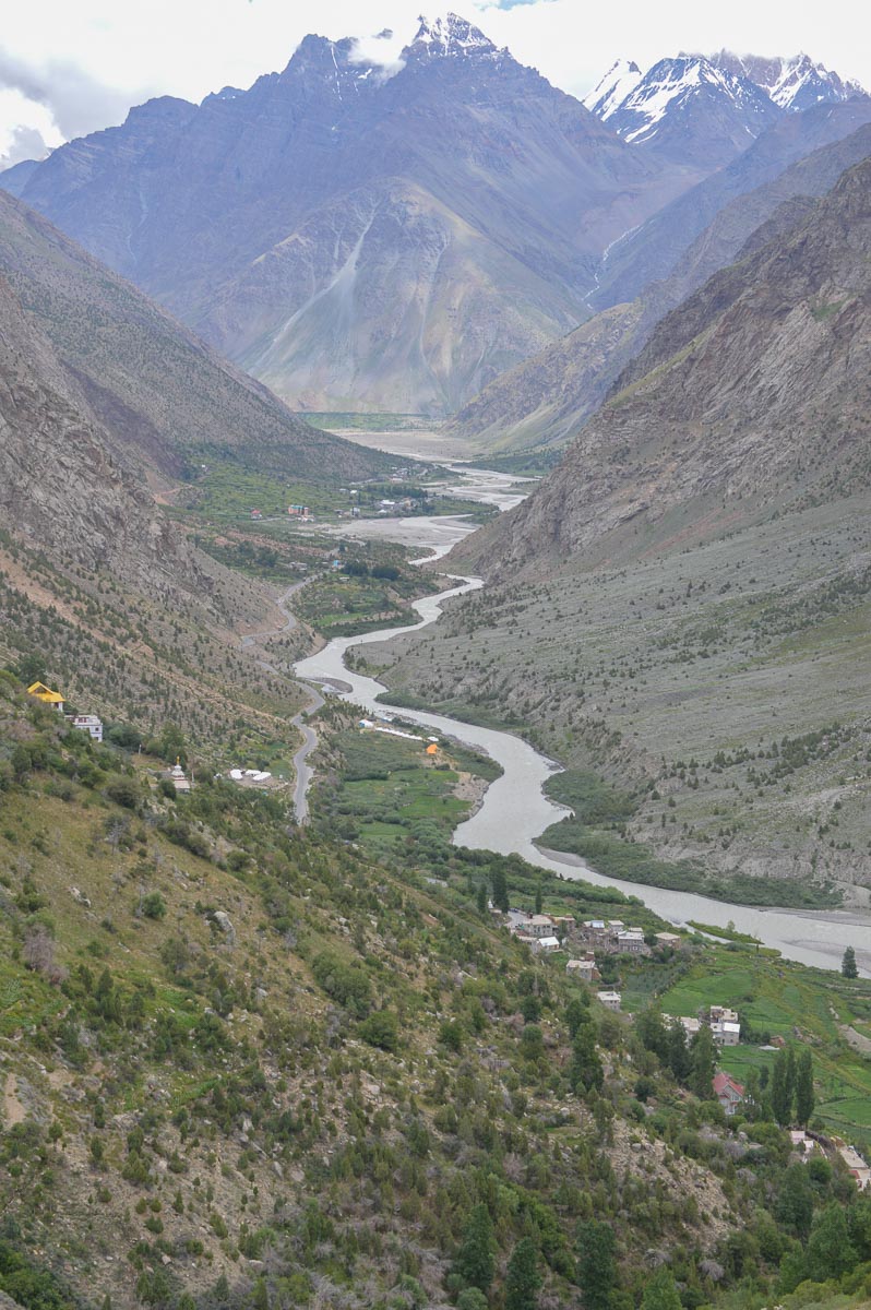
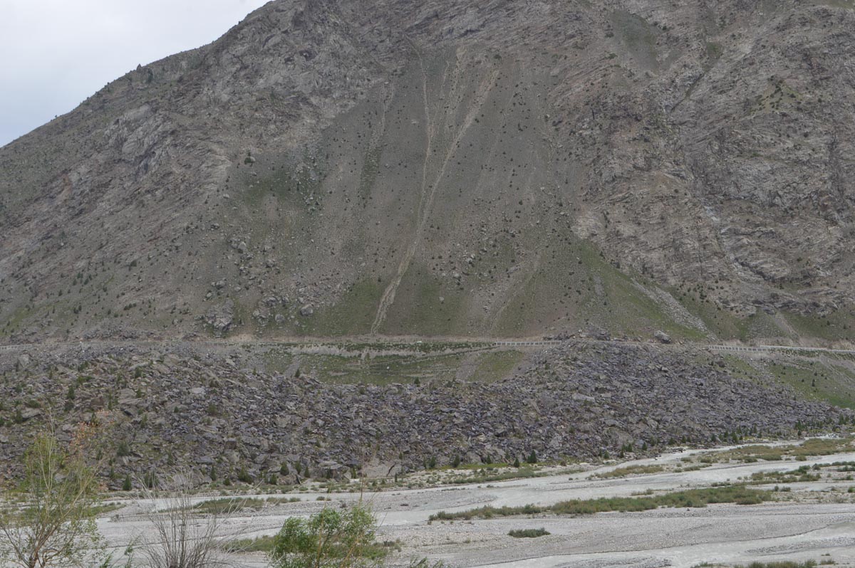
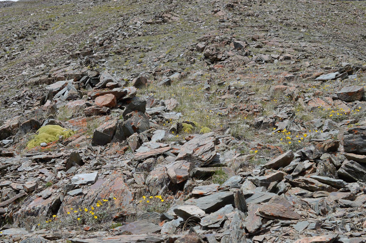
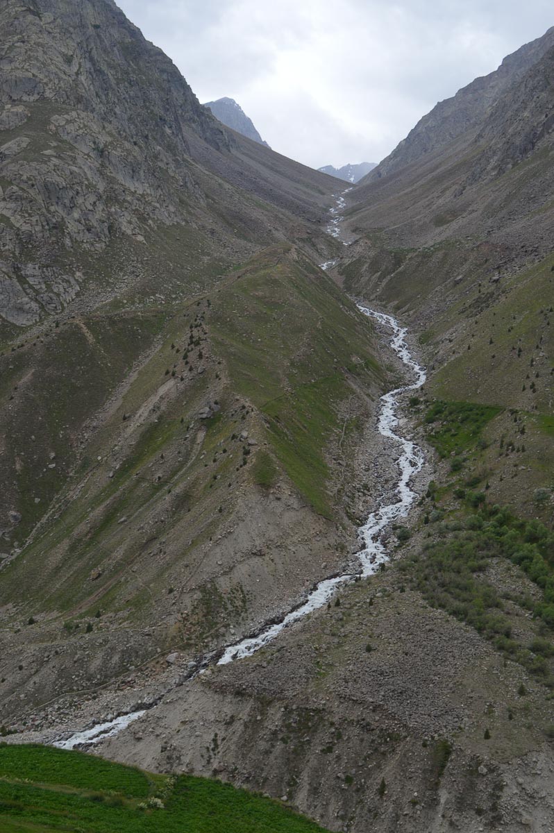
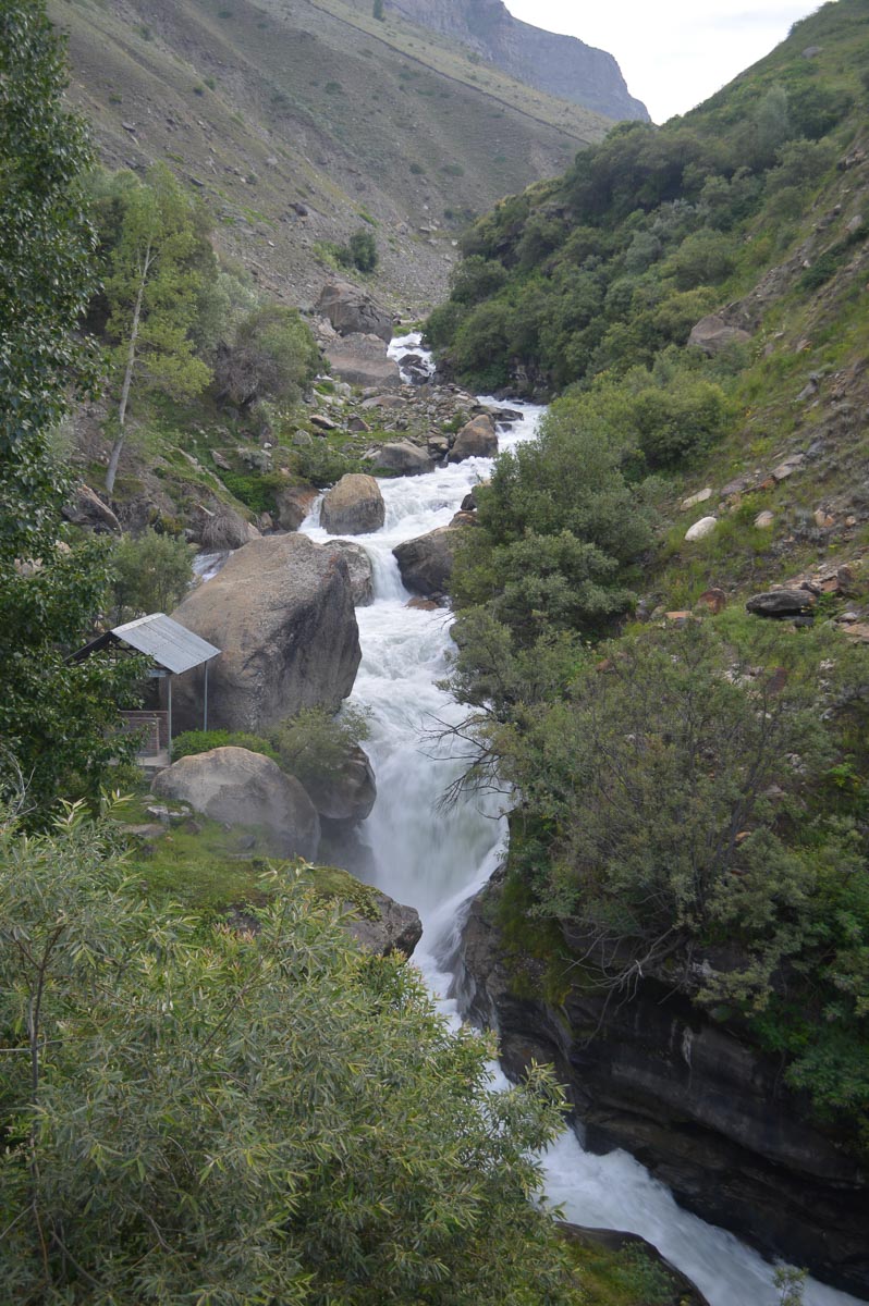
At Darcha, two tributaries join the Bhaga in a vast flood plain about 500m across and 2-3 km long. After crossing the Bhaga, the NH climbs steeply upwards. From Darcha, we walked along one of the tributaries for about 3 km. Passed a slide of small, sharp-edged rocks stretching from near the top of the ridge down to the road, 2000' or more. The rocks are fairly uniform in size from 6” to 2'. Probably a scree slope built up over the years by small rocks breaking off due to weathering of the cliffs near the peak.


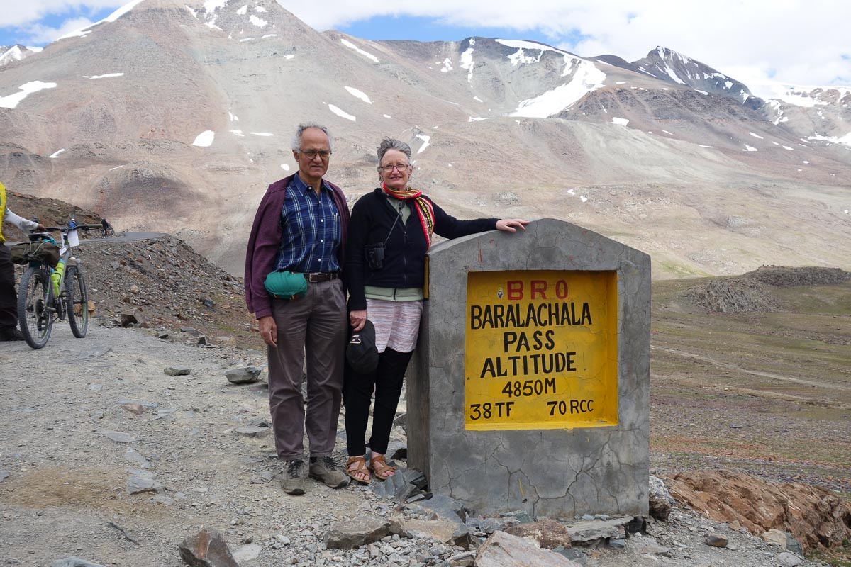
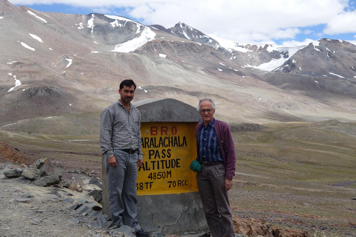
Bed tea was served at 6:30. Clear sky with a few clouds. Had breakfast of toast and eggs, and left for Baralacha La at 8:30 am.
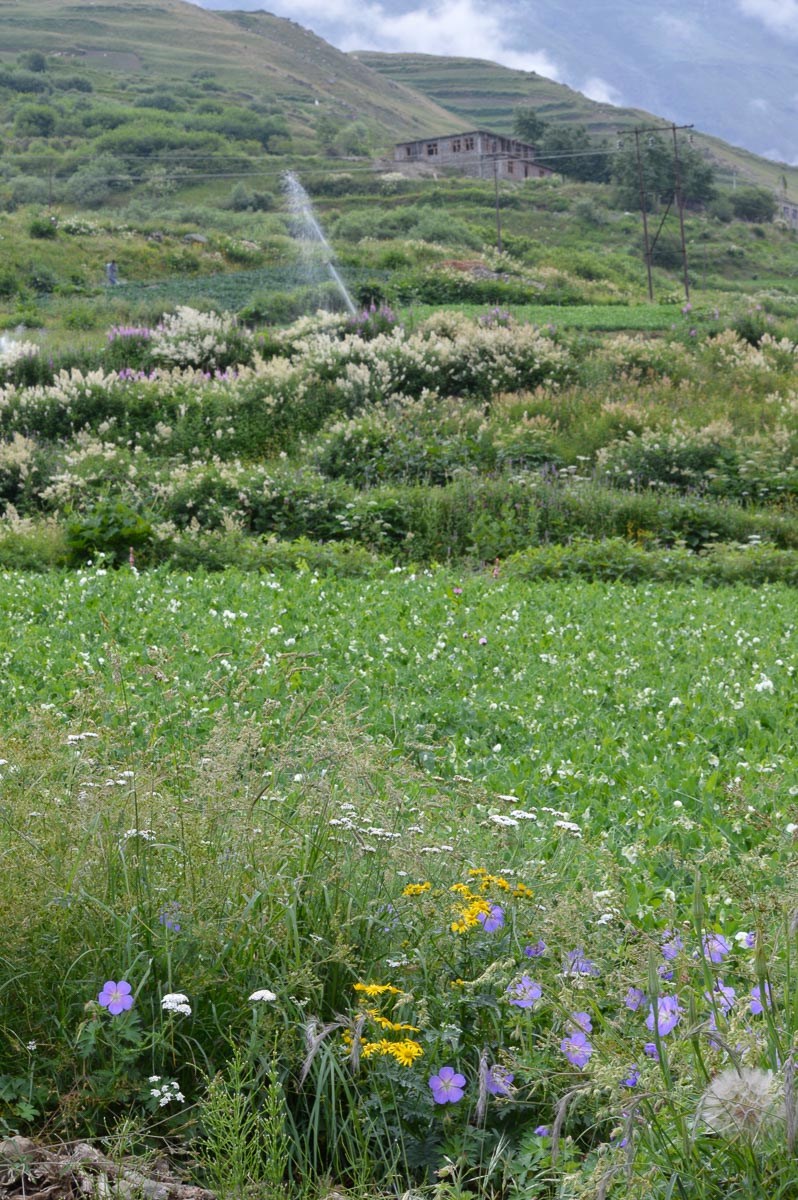
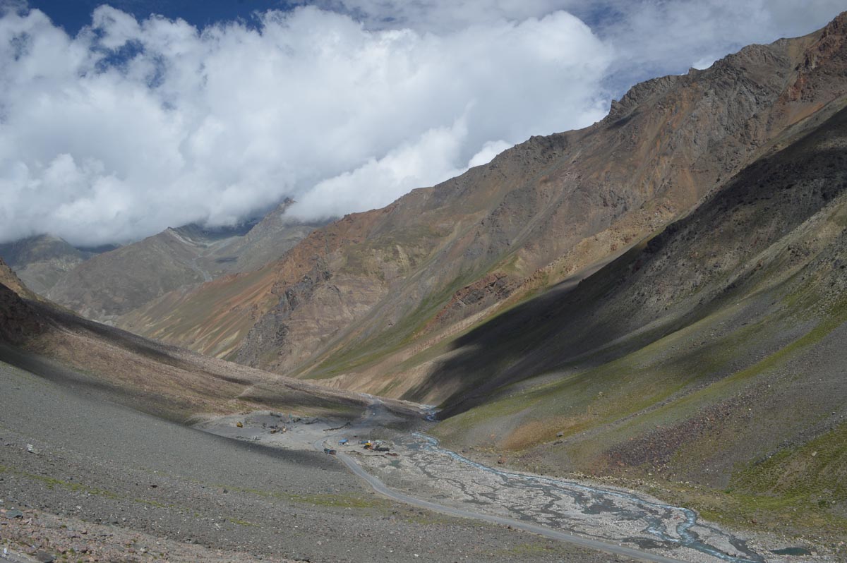
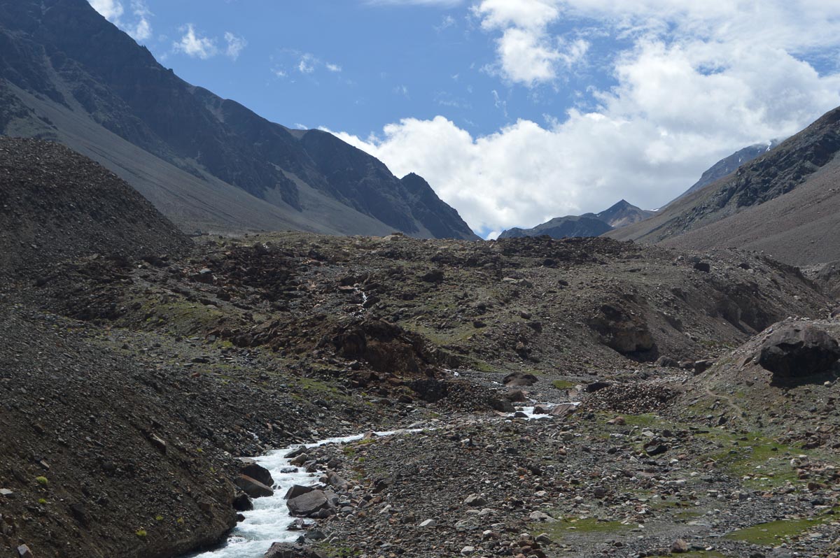
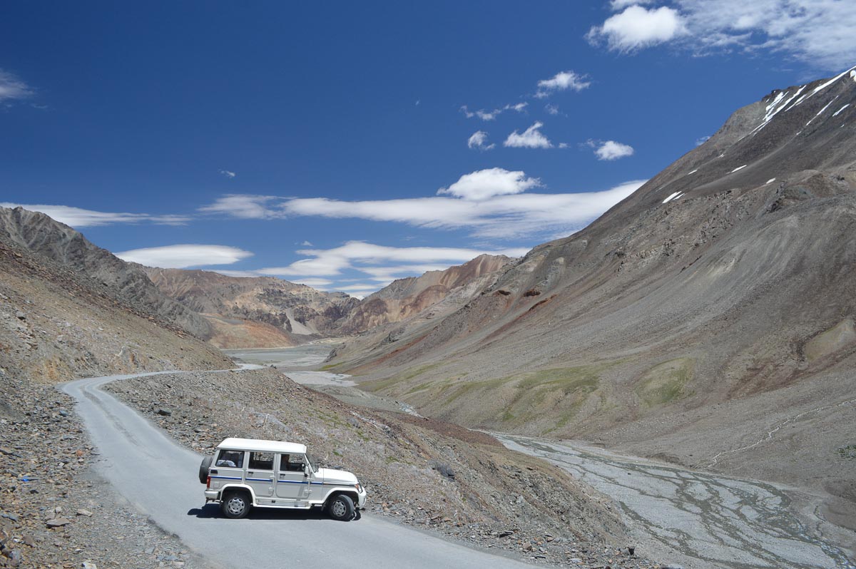
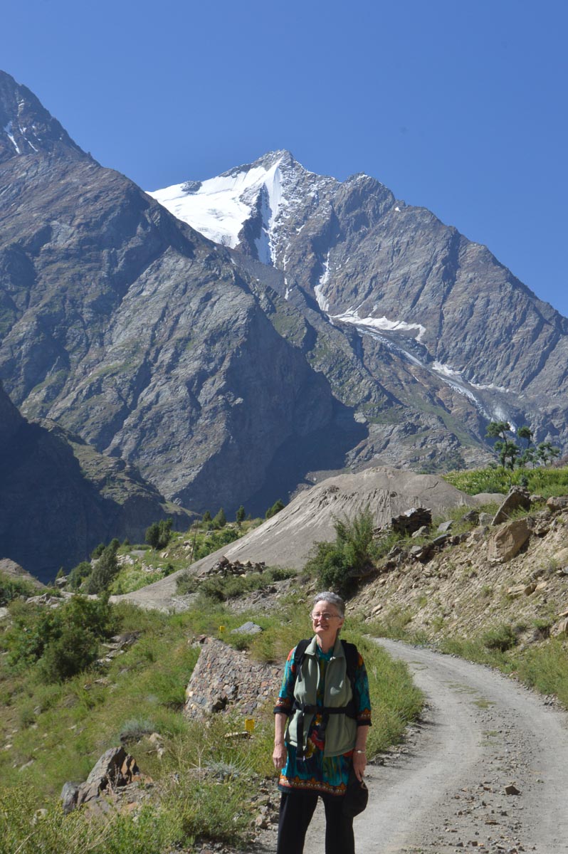
From Darcha, the road climbed steeply above the R. Bhaga through a steep valley whose sides plunged into the river. The valley opened up a little before Patsio, 12,000', about 15 km from Darcha. In the valley there was evidence of an extensive irrigation system which carries water from high mountain spring as much as several kilometres along high mountainsides to villages and fields. Some of these systems appear to be in good repair and used today. In many cases, the erstwhile channels have been replaced by modern pipes. Others seem to have fallen into disuse. The current symbol of modern agriculture and wealth is the sprinkler.
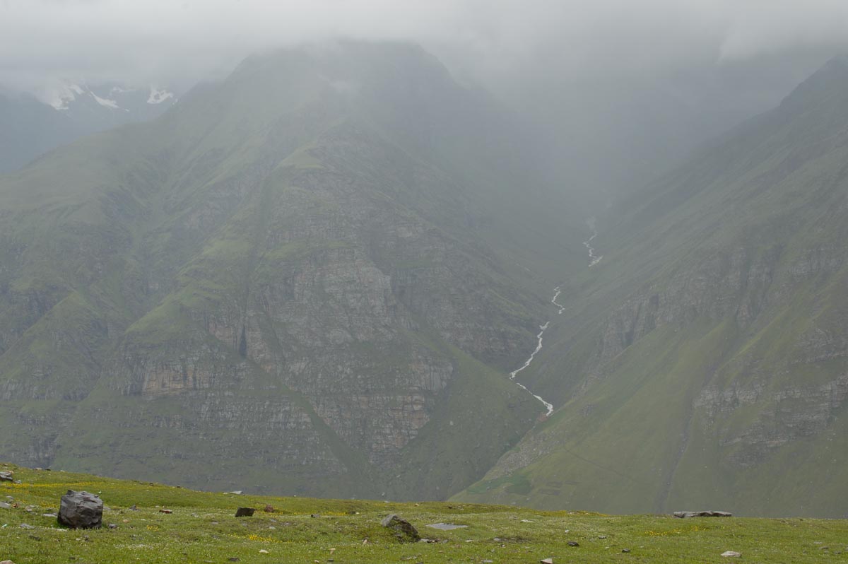
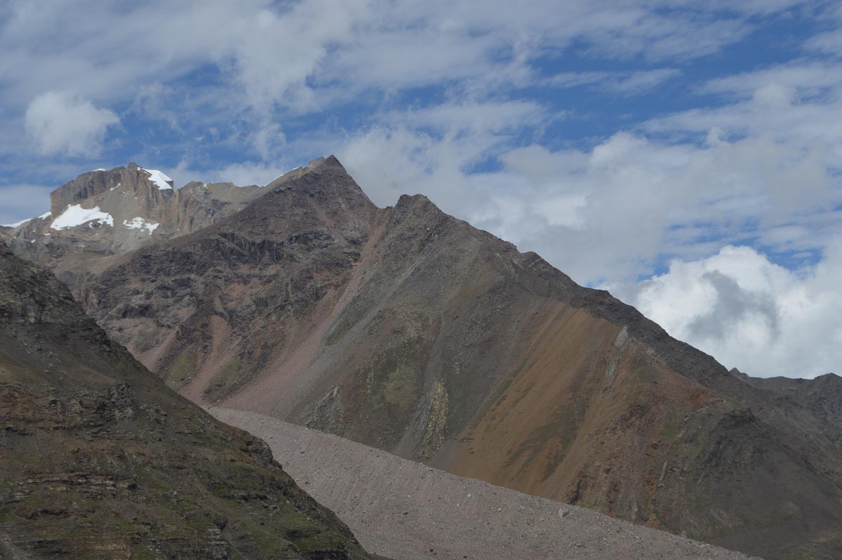
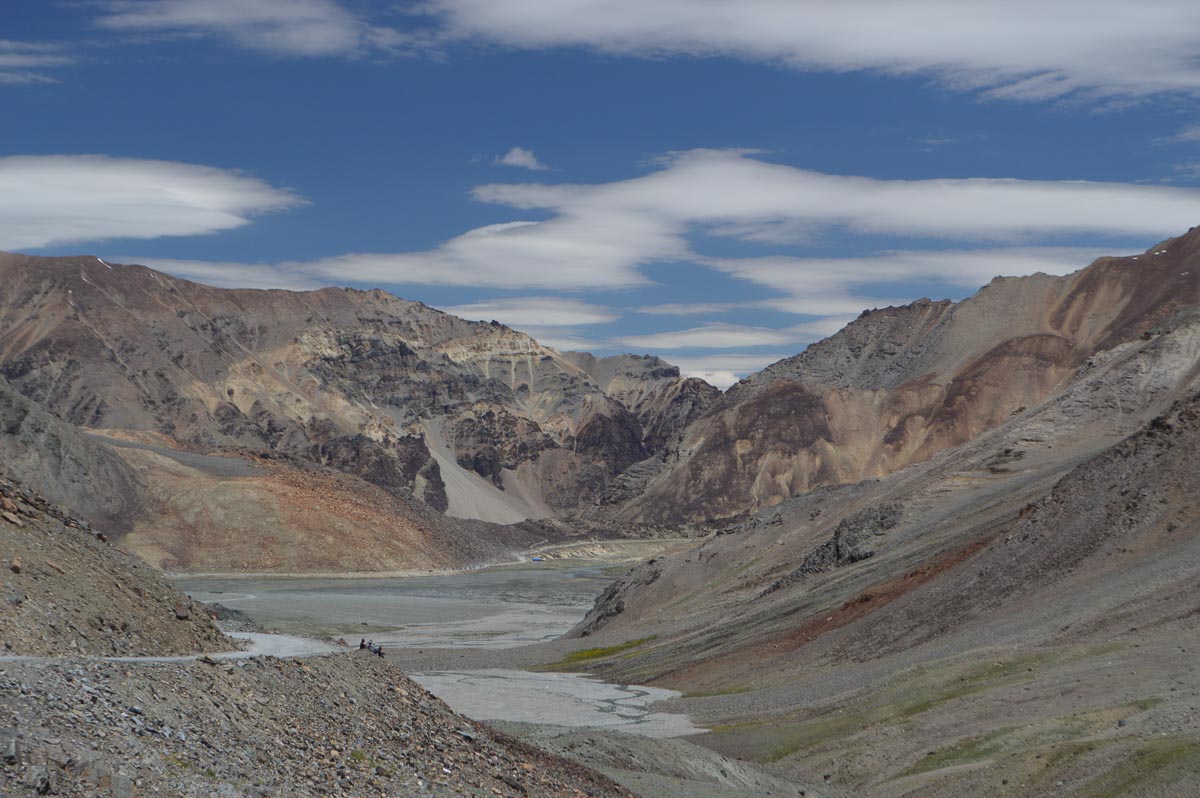
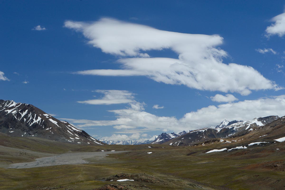
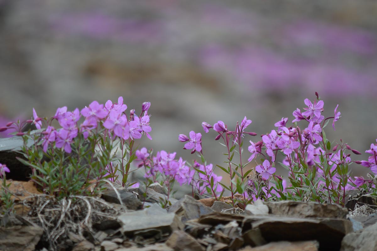
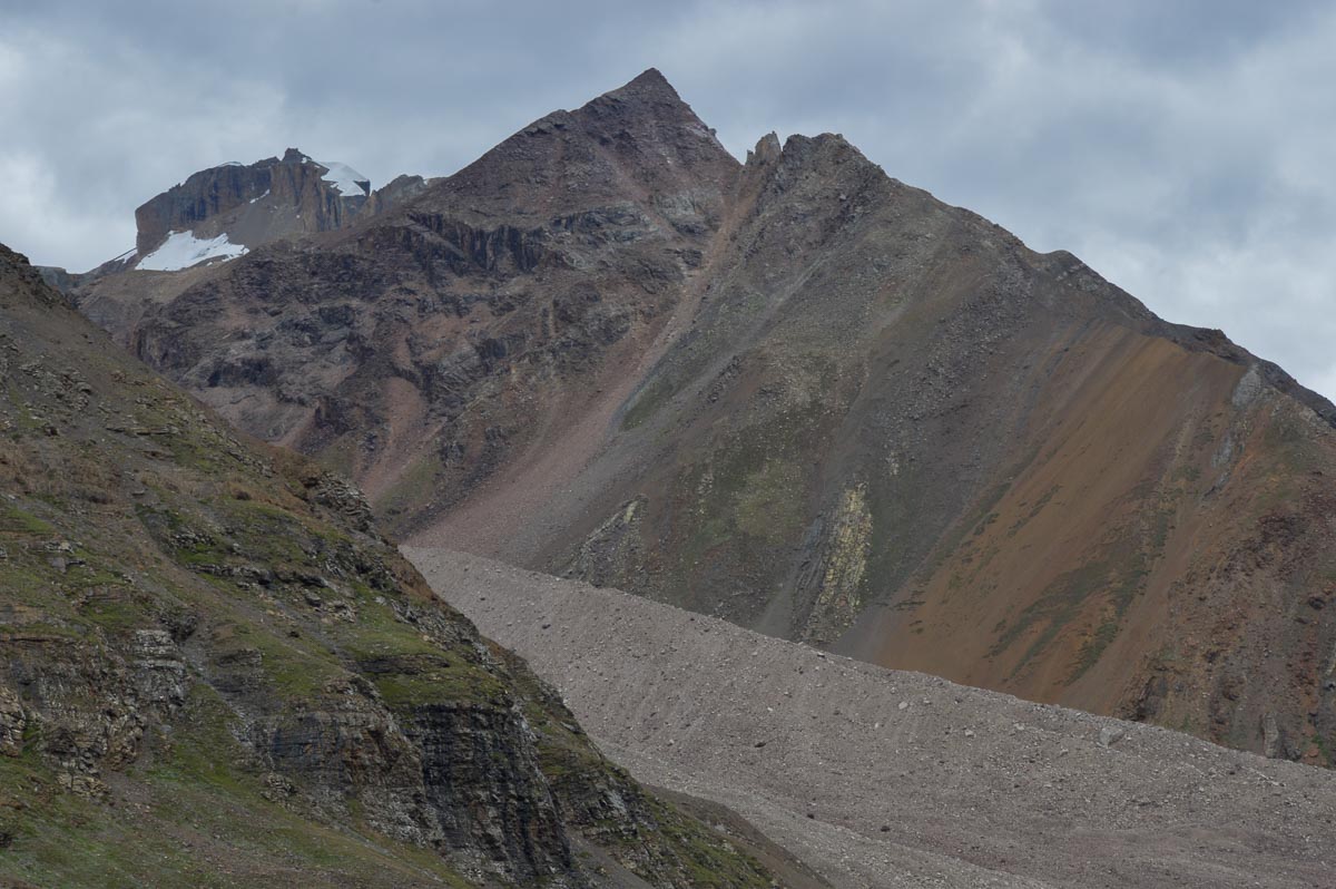
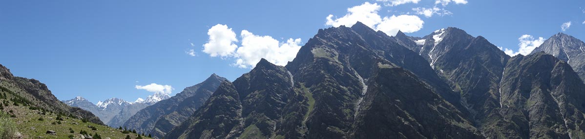
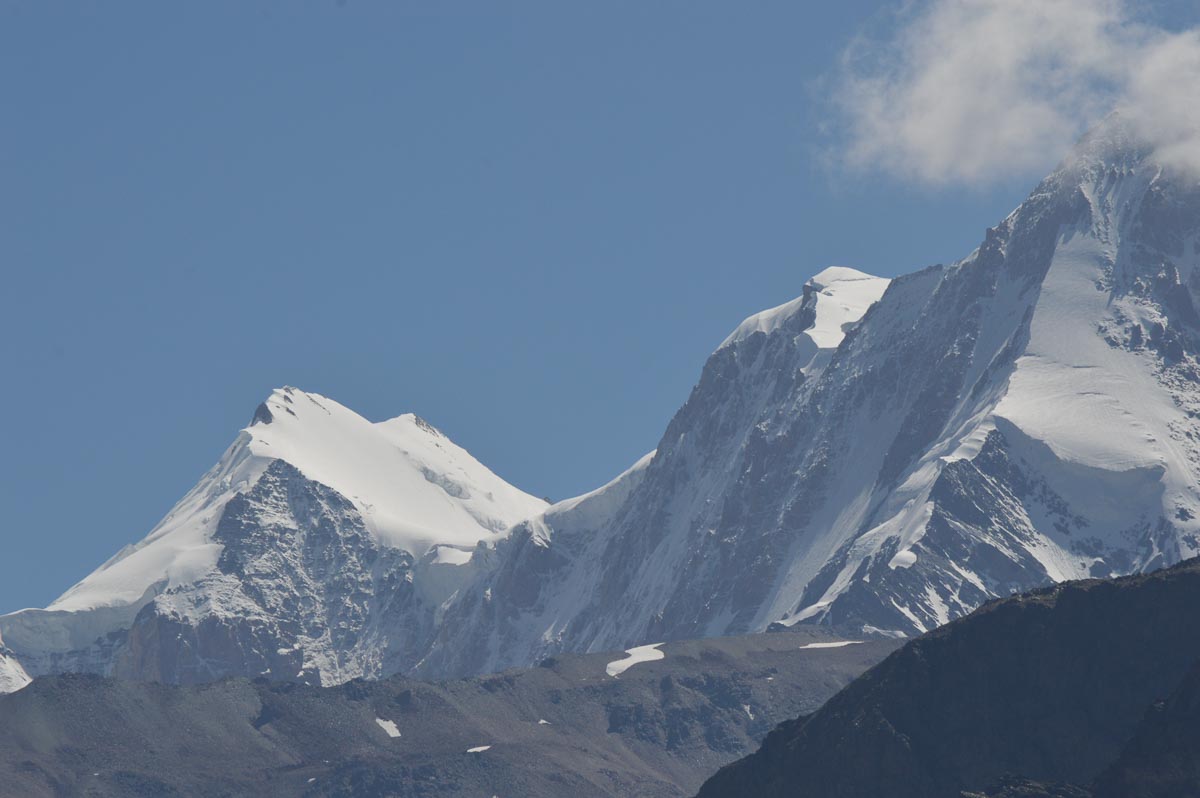
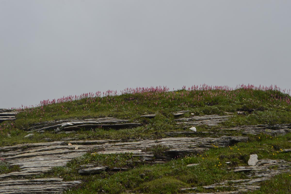
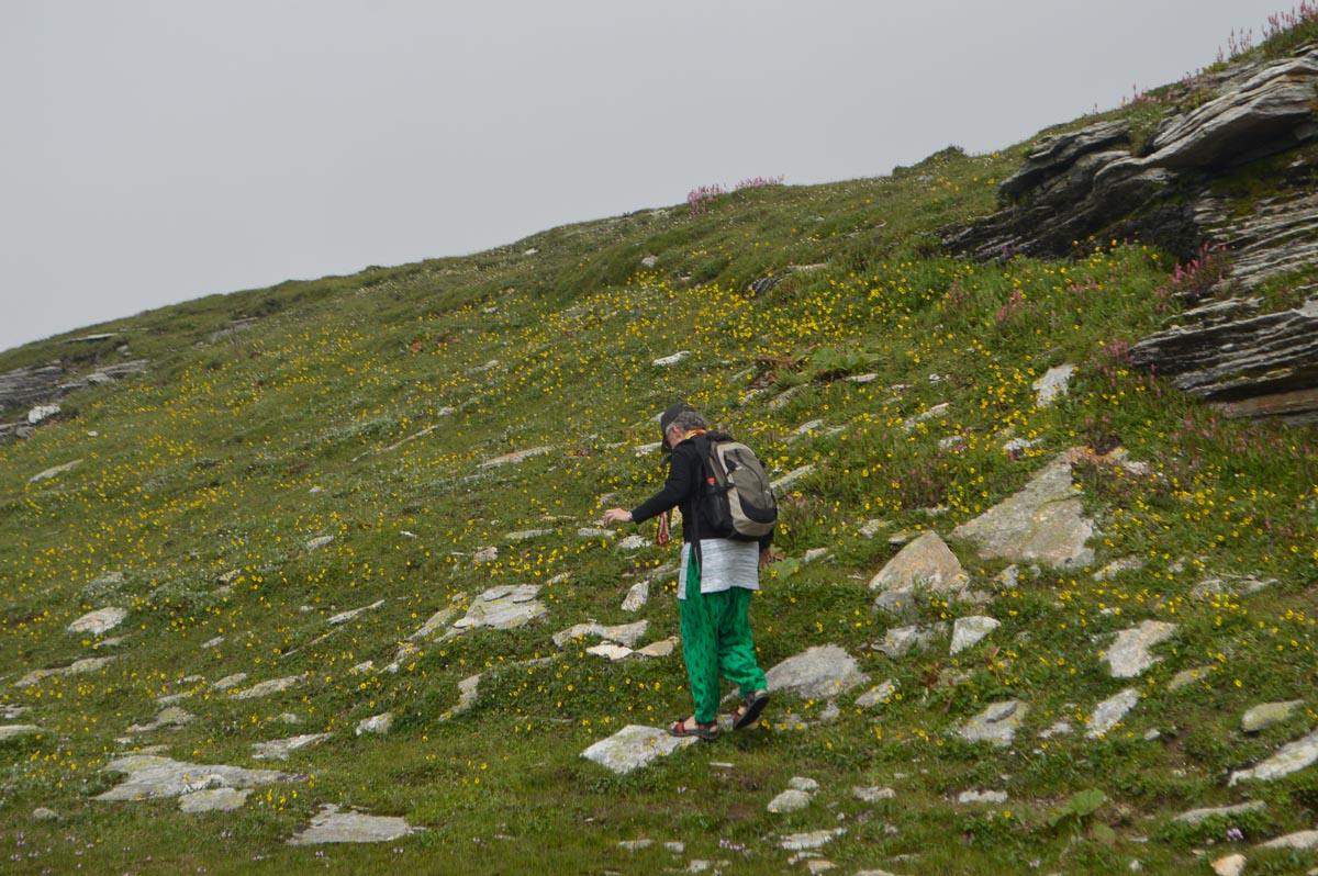
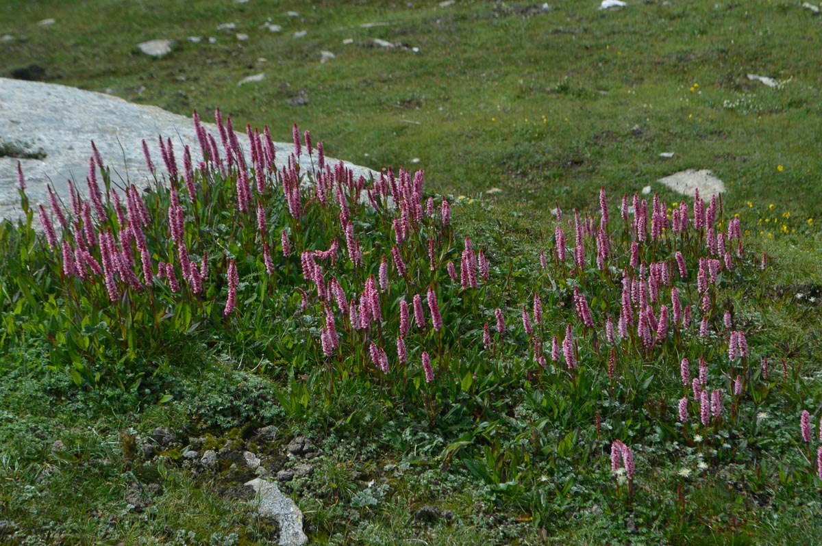
After Patsio, the road climbed steadily up a long valley to Baralacha La, 30 km, 15,912'. The views are grand, with towering ranges on either side, in front and behind. The sides of the valley consist entirely of scree slopes, some 1,000' or more in height. A few hardy alpine wildflowers and grass provide some respite from the sere landscape.
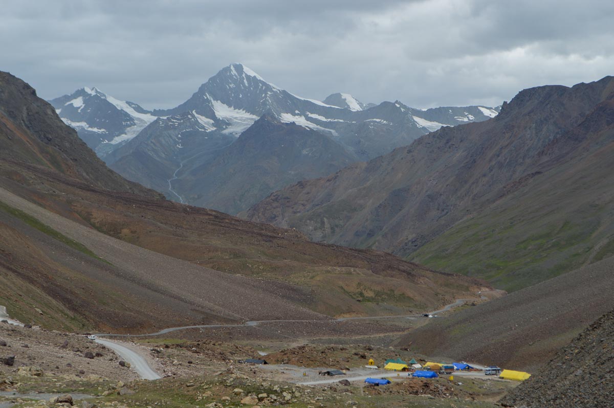
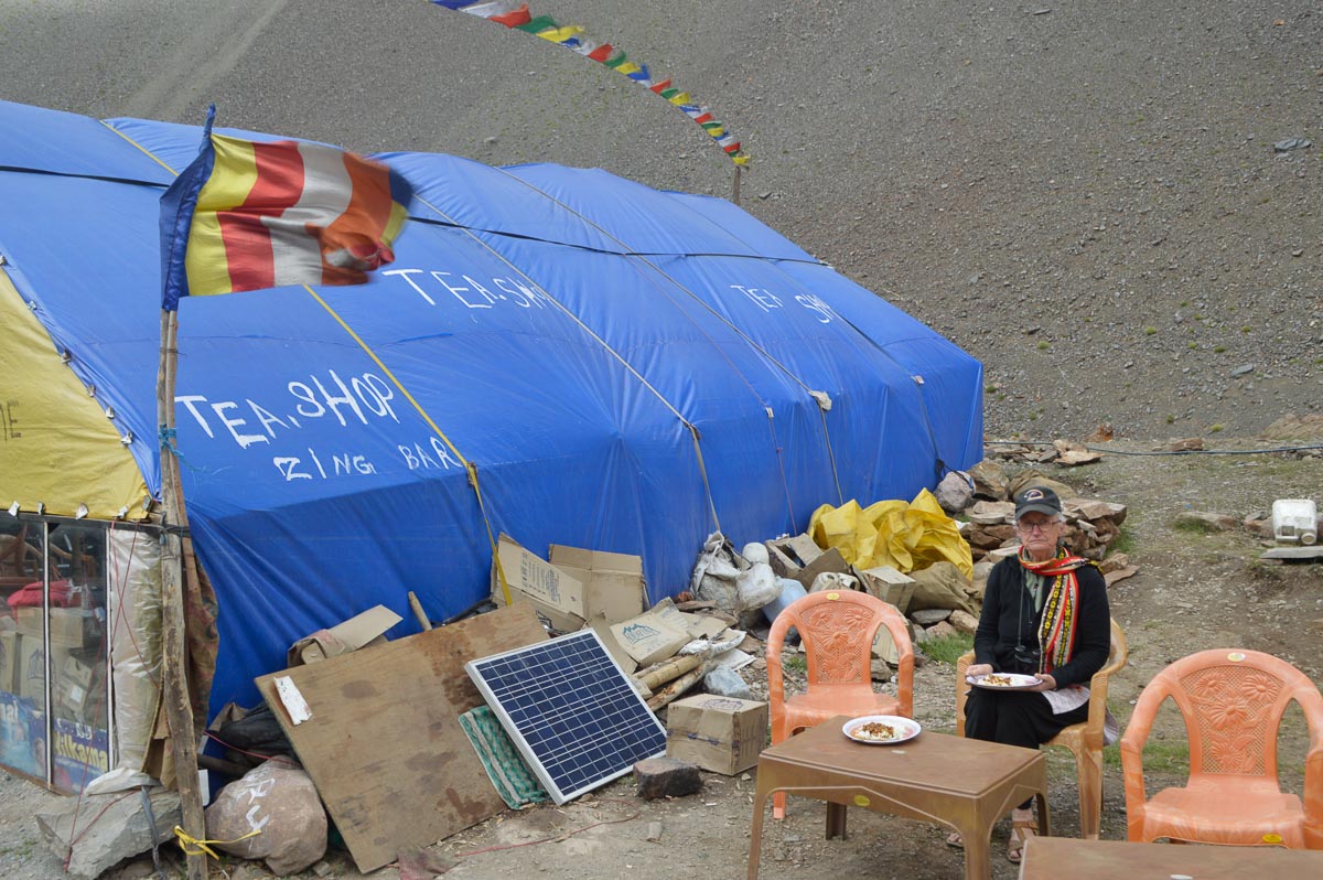
Stopped for tea at Zingzing Bar, 13,000'. Zingzing Bar is a field of stones with six dhabas. We wondered if zingzing was a local adaptation of doodoo, our younger daughter's first word for rocks or perhaps a variation of zigzag as the road zigzagged up the valley.
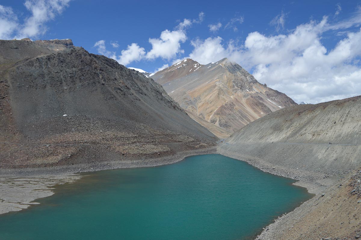
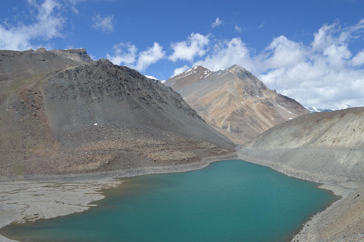
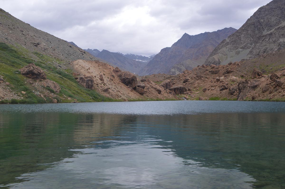
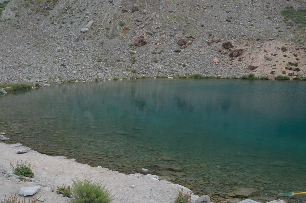
Suraj Tal, just below the pass, was clear greenish and serene. It was only half full, owing perhaps to the poor rainfall in the past year.
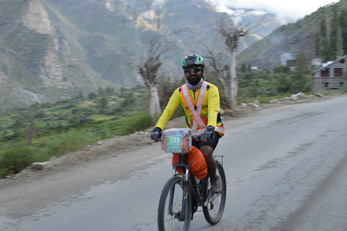
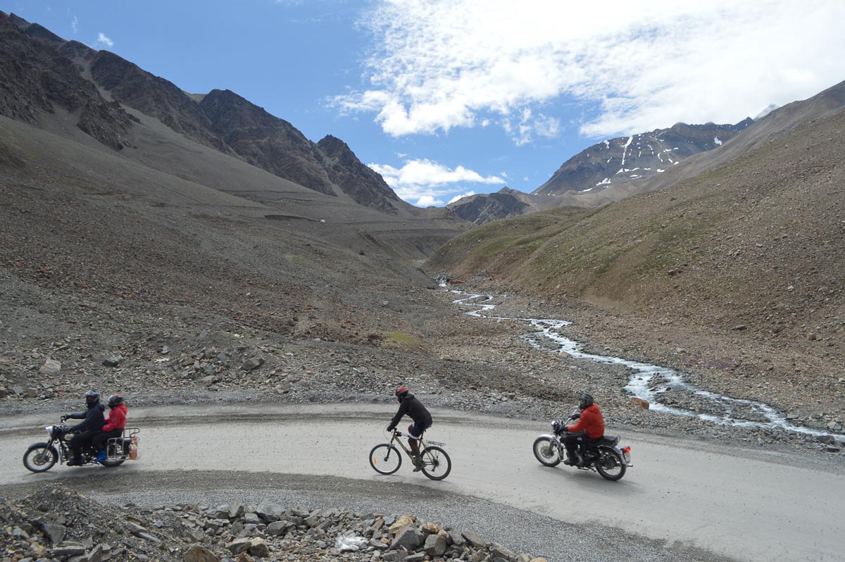
We shared the road with many motorcyclists, about thirty bicyclists, and a handful of Innovas, Zoom cars and vans. The bicyclists were all Indians from nine mountain cycling clubs throughout India. They ranged in age from college students to elders with grey hair and included a number of hardy females. There were also several female motorcyclists and a few female car drivers. Perhaps IIT Mandi should start the tenth mountain cycling club in India. We have a much better training ground than the clubs in Delhi, Mumbai and Goa.
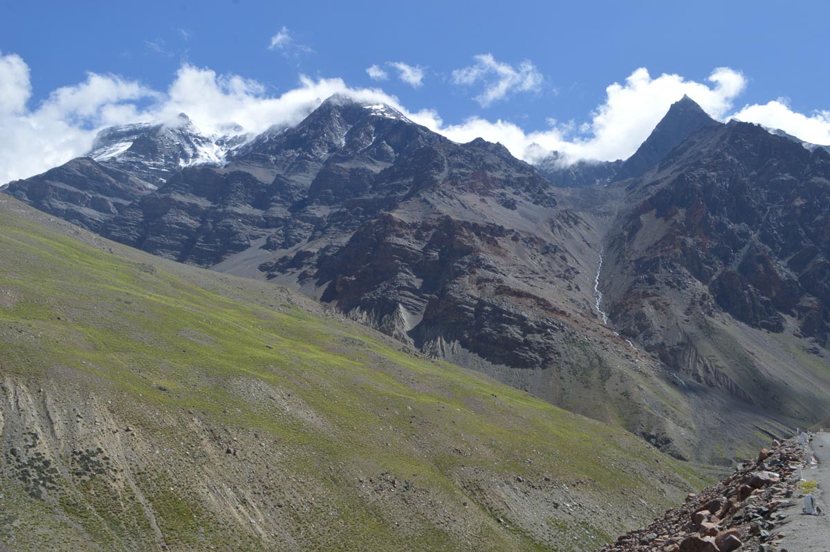
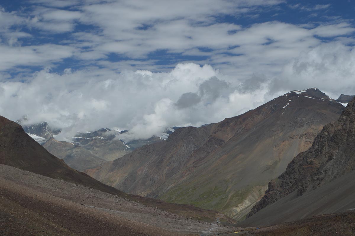
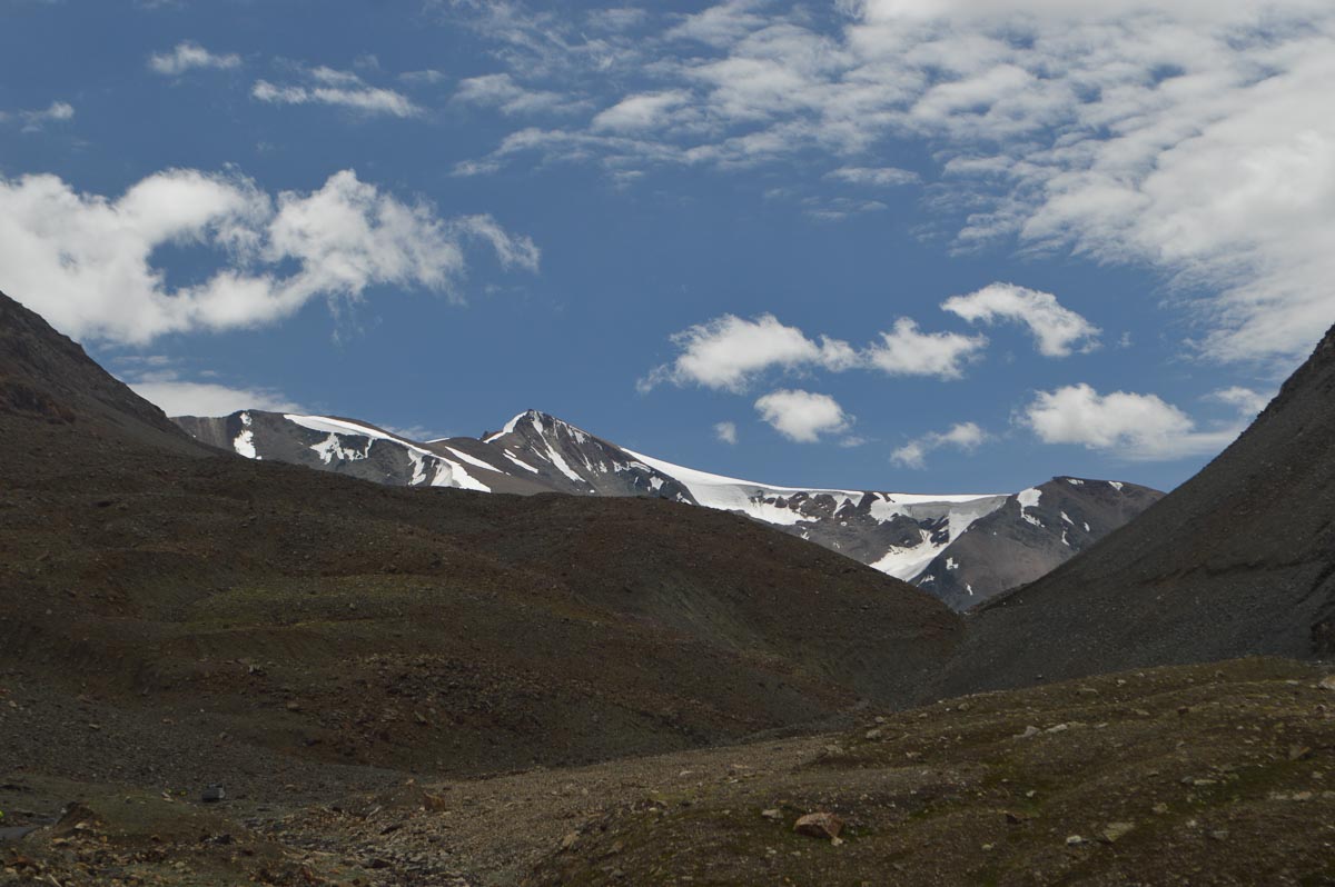
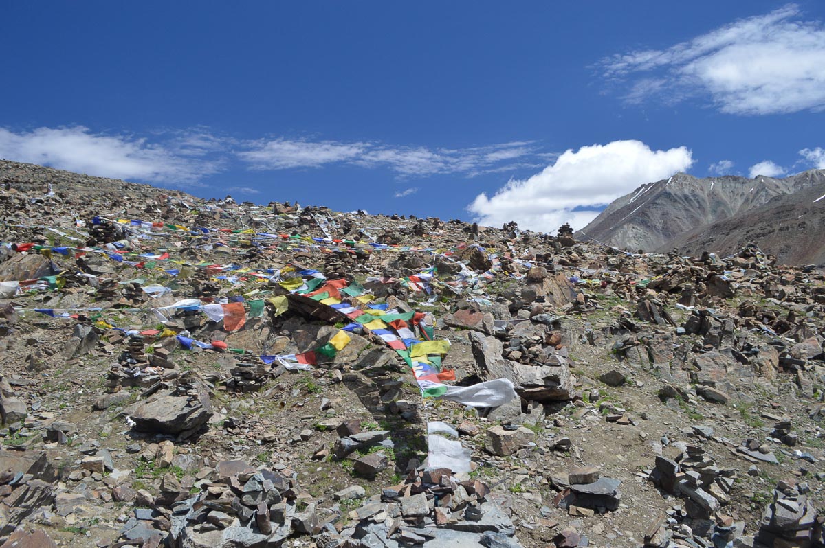
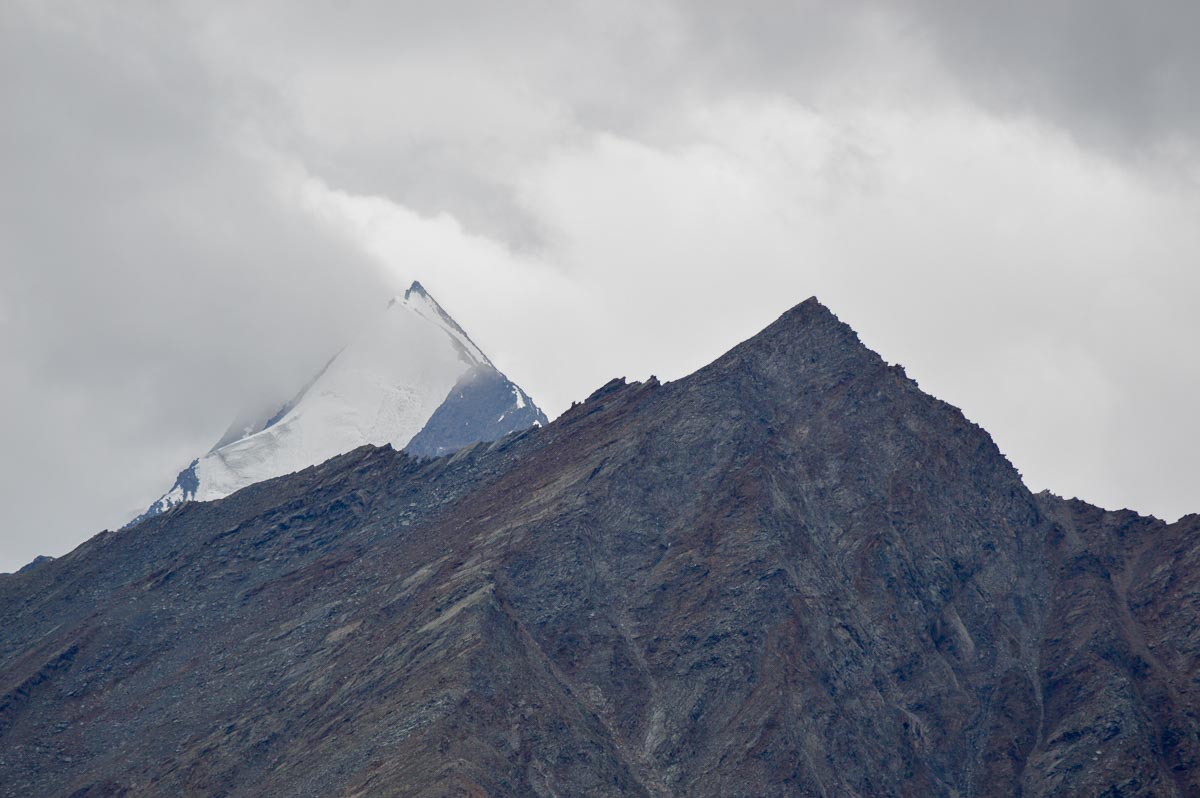
The Pass, which we reached at about 11:45 am, is a wide basin ringed with snow-capped mountains. We drove a few km down towards Leh, then turned back. On the north side the road descends to a high plateau. The plateau is bordered by mountains but lacked the views of the high peaks offered on the south side.
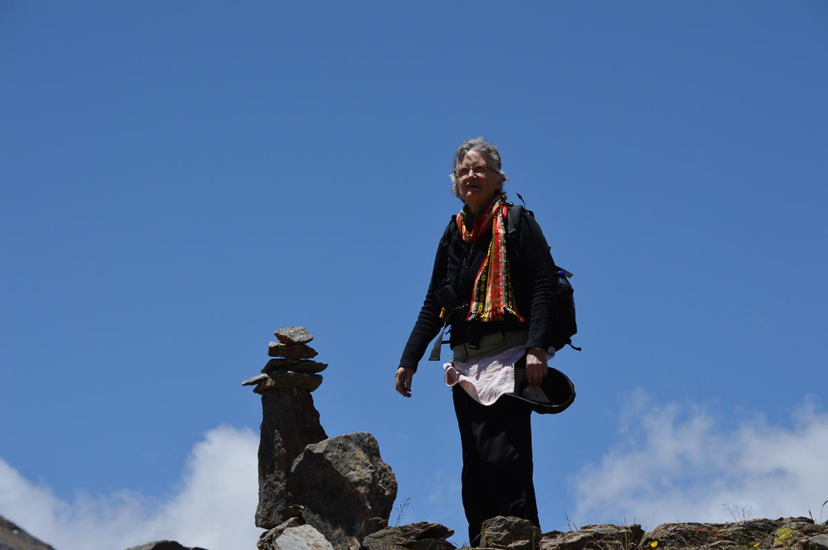
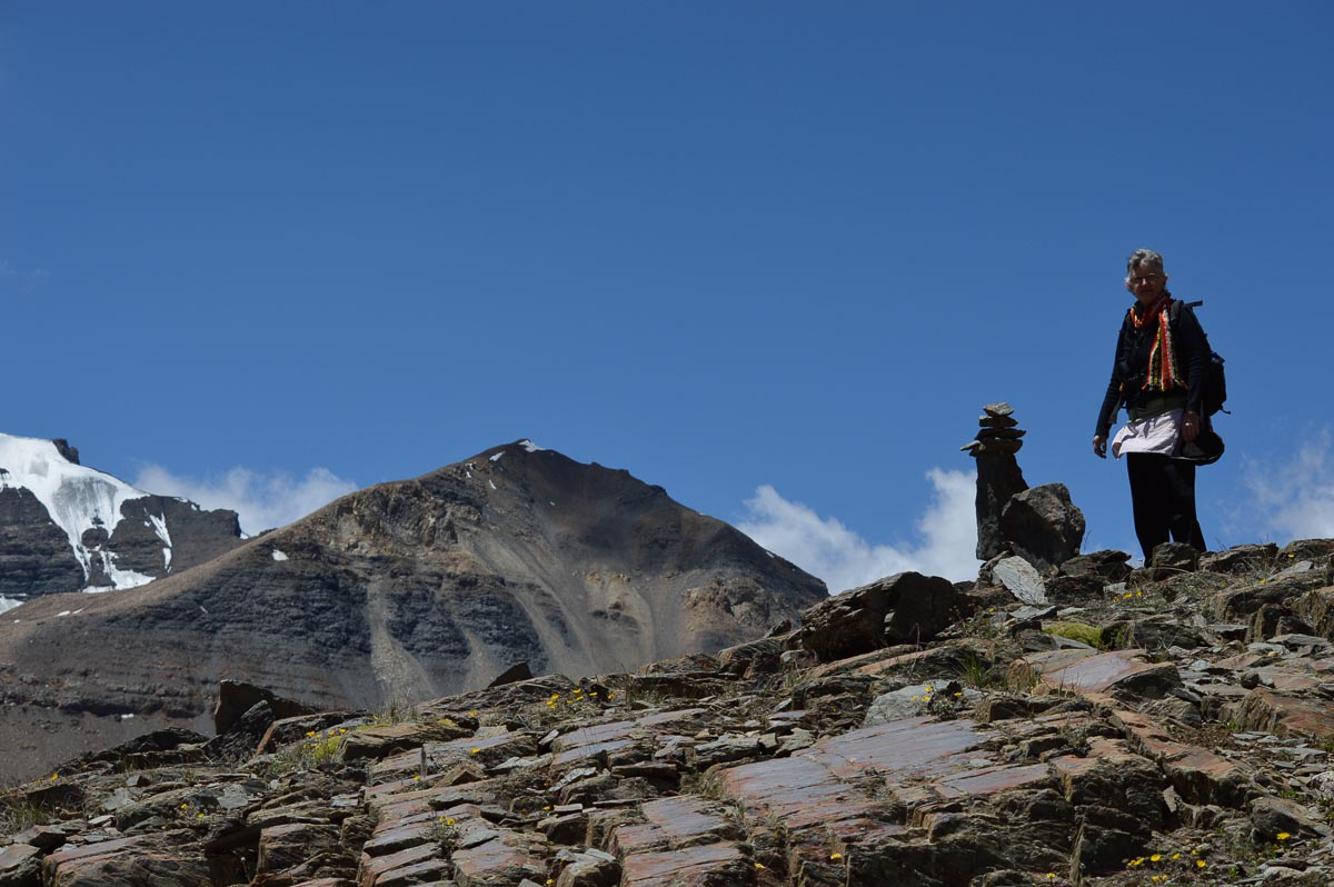
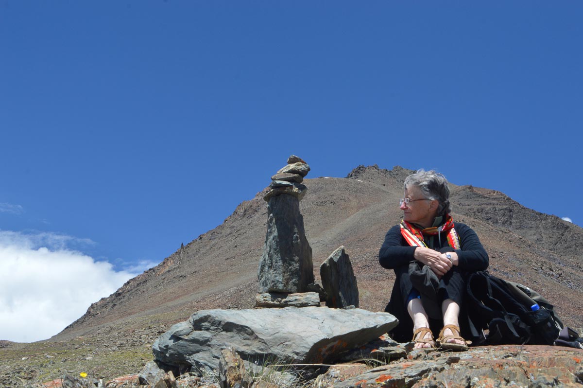
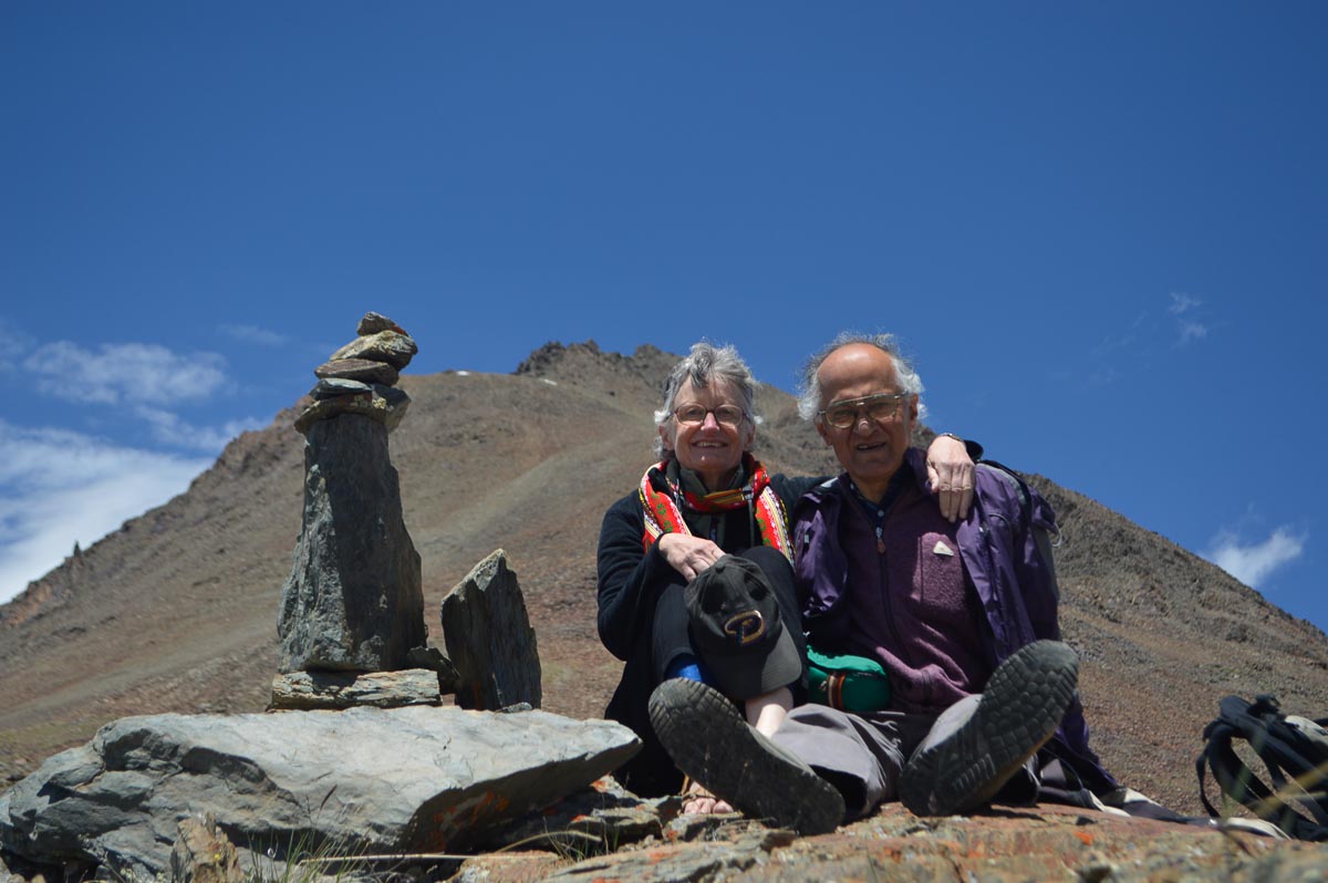
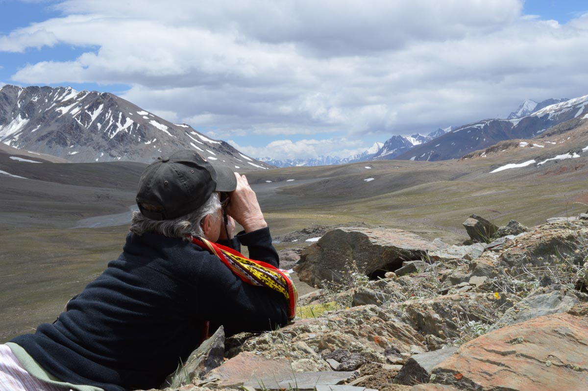
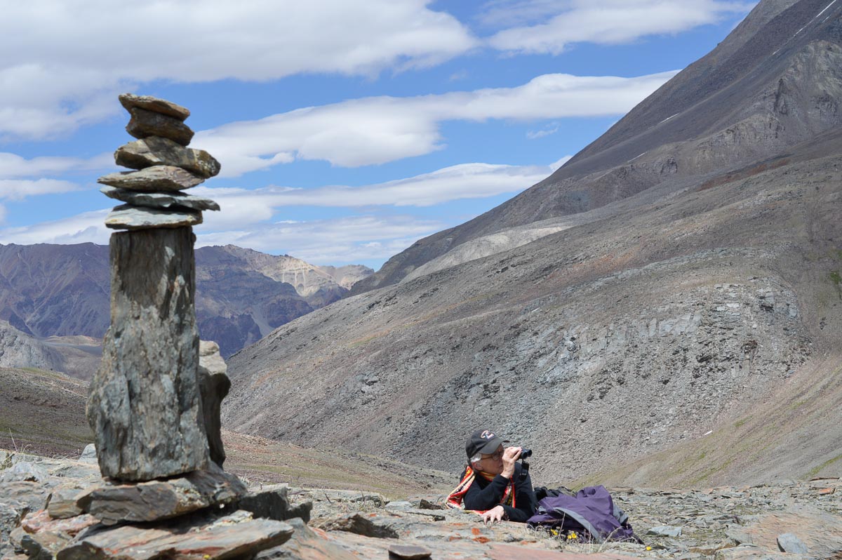
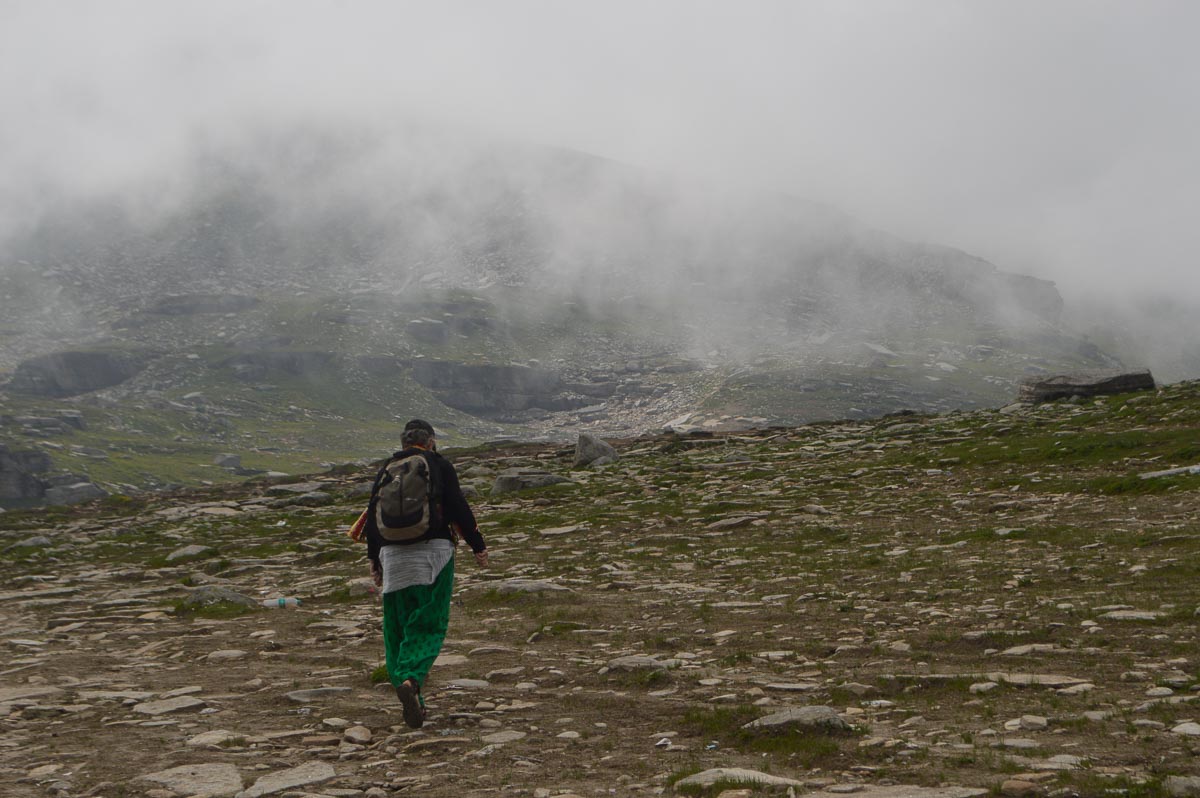
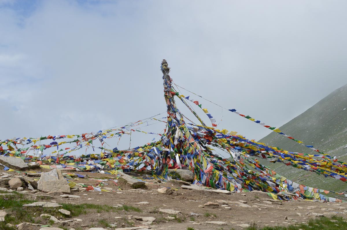
We returned to the grander views and hiked 150' slowly up a hill above the pass to reach a stone chorten at 16,050', a new record for both of us. Below us a broad plateau stretched several kilometres towards Chandertal. Barren mountains topped with glaciers ringed the plateau. Behind them towered snow covered peaks. After savouring the views and a snack, and photographing the wildflowers, we headed back down. The sky clouded over, and there were occasional drops of rain.
Stopped at Zingzing Bar for a late lunch of rice and rajmah. Tea at Deepak Tal below Patsio.
At Darcha, we made a diversion along the Janker Nala for a few km to a small village Dakbajan. Walked back about 3 km on the road, then drove to Gemoor Khar, reaching at 5:15 pm. It rained briefly around 6 pm, then partly cleared for an sunset over the mountains to the SW. Sunsets are unusual in these narrow mountain valleys.

Awake before 6 am, bed tea was served at 6:30. Clear sky with few clouds and the snow-capped peaks brilliant white in the sun, a contrast to the valley still in shadow. Had breakfast of toast and eggs.
Headed up to Khangsar and Mai, 1,000' above Gemur. Walked through Mai to the end of the road. A prosperous village with fields behind the houses. Walked down the road to the monastery and then took the steps to Gemoor Khar. Reached about 11:30. Had lunch outside enjoying the crisp mountain views.
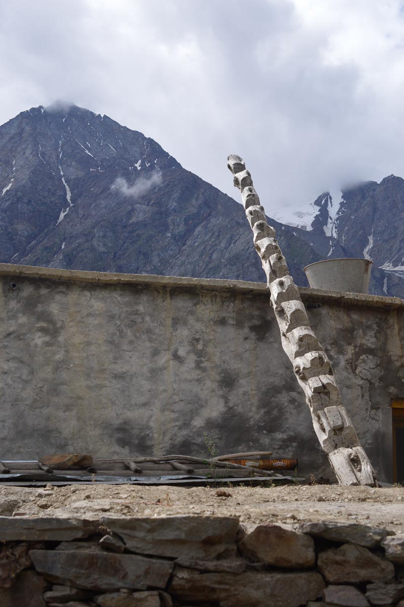
Left at 1:15 pm. Spent 30 min shopping for gifts – bought yak wool shawls and scarves. Had tea with non-veg momos at Gondla. Visited the old fort/palace, built in the 18th century by the Kullu raja for the Gondla thakur headman. It is dilapidated and not open. It is a square tower about 6 stories high. The entrance was through a ladder (missing now) to the 2nd floor. We speculate that the lower floors were for storage. The public hall was on the 4th floor, and the family lived on the 5th floor, with sentries on the balcony of the 6th floor.
Found Snow Town Home stay in Sissu. Actually, it is built like a lodge. Our room is just over the roaring R. Chandra. Rs. 1,200/- for the night.
Drove to the bridge over the Chandra, and walked on the left bank for about 1 km. A strong headwind made the going slow, though the returning was much easier.
Dinner was served in the family dining room. The husband is a teacher in the local primary school, and the wife is a nurse in the local primary health clinic. Their two children have studied engineering in Himachal institutions.


Awake before 6 am, went for a stroll along the road. Crisp, clear views. Bed tea was served at 6:30. Had breakfast of parathas in the home stay.
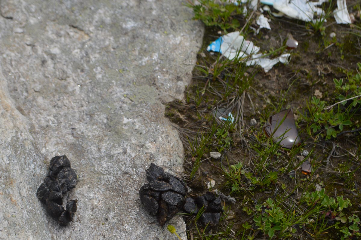
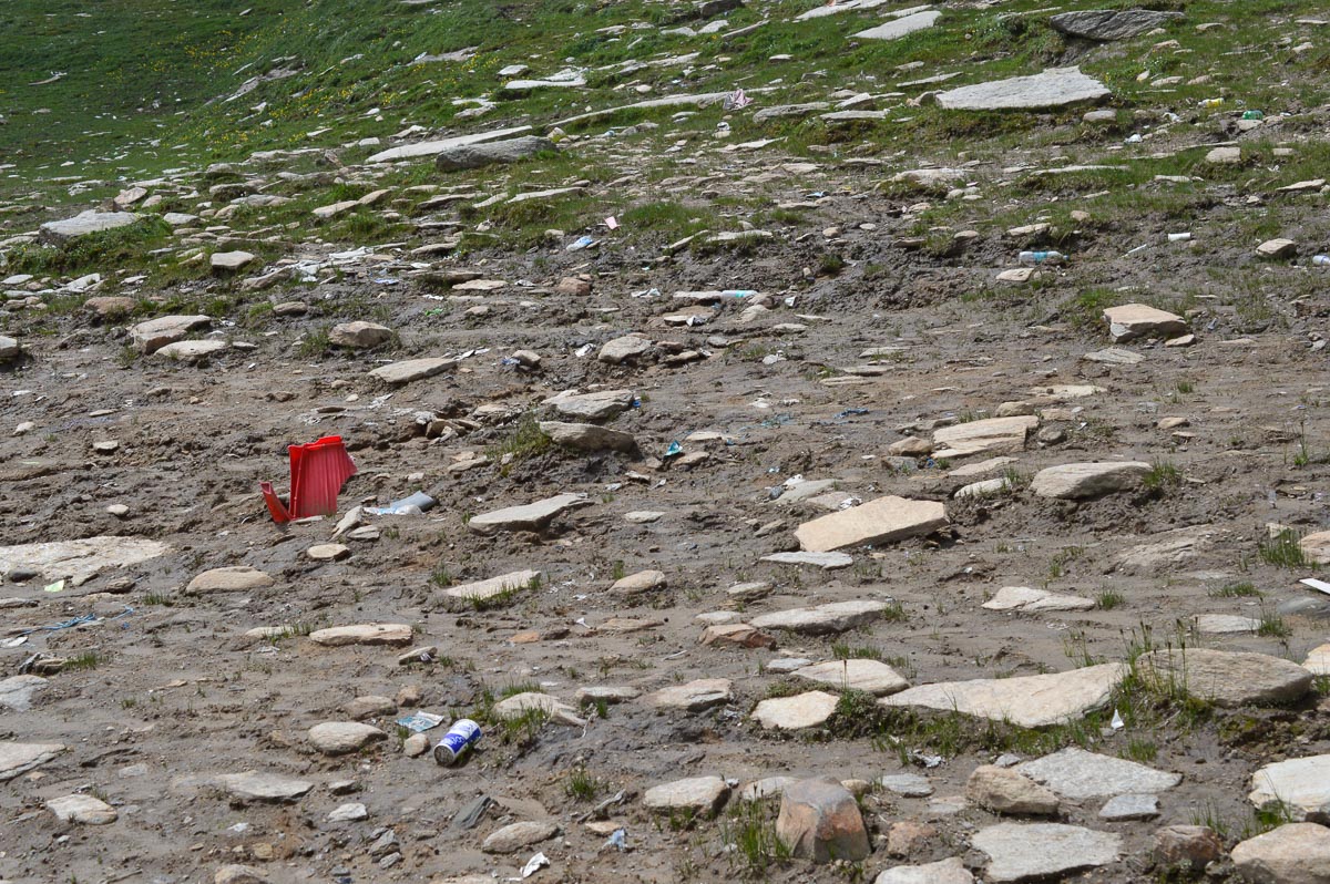
Departure at 7:45 am. Tea stop at Koksar. Not much traffic on the way up to Rohtang. Stopped midway to buy wildflower honey from a beekeeper. Cost Rs. 500/kg, has a pleasant taste. Reached Rohtang about 10 am. Spent an hour at the pass with good views of the mountains on the Lahaul side – perhaps the same ranges that we saw from the other side from Baralacha La. Clouds blew in from the Manali side obscuring the view. The pass is grassy with myriads of small wildflowers. The remains of the commercial activities are visible – tracks made by vehicles, horse dung, plastic litter. The decision of the National Green Tribunal to restrict the commercial activities is having some beneficial effect.
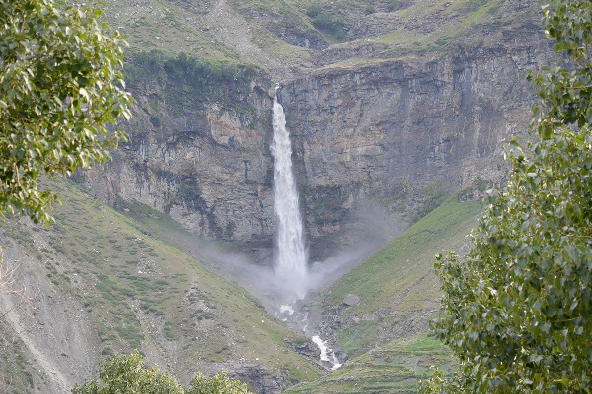
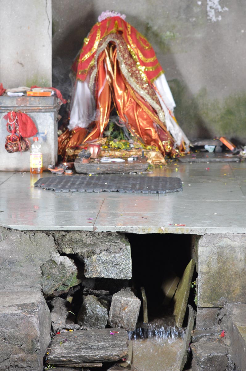
After visiting Beas Kund, the source of the R. Beas just below the Pass and adding a stone to one of the dozens of small chortens before the shrine, we started down at 11:15 am. Encountered heavy traffic at times, reached Manali at 2 pm, after lunch at Marhi. Did some shopping in Manali, bought fruit near Kullu and reached home at 5:45 pm. Rusty was overjoyed to see us.
Photography equipment: Most of the pictures were taken with a Nikon D3200 using a variety of lenses: 10-24mm wide angle, 40mm macro, 18-55mm normal, 55-300mm telephoto. The D3200 is Nikon's entry-level DSLR. With a 25 MP sensor, it gives excellent images. A few of the panoramas were taken with a Sony RX100M2. This compact camera has a 1” Exmor sensor, so-called backside illuminated. The quality of the images is close to that of the larger DX sensors.
Lahaul is at a altitude of 10,000' and above, with very little vegetation. There are vast landscapes with a lot of sun, intense blue skies and reflections from lakes. Due to the direct sun's rays and the glare at high altitudes, photos appear insipid compared to the actual scene. A polarising filter can be used effectively to cut down the glare and give better colours especially of the blue sky. If your camera supports a polarising filter, using one is highly recommended. See these two images of Suraj Tal with a polariser and without polariser.
You are free to download individual medium resolution images from this page. Contact me by email if you want hires images suitable for printing.
Typeset using OpenOffice
Converted to responsive HTML using blog_parser by M. Praveen Kumar and N. Jayaprakash